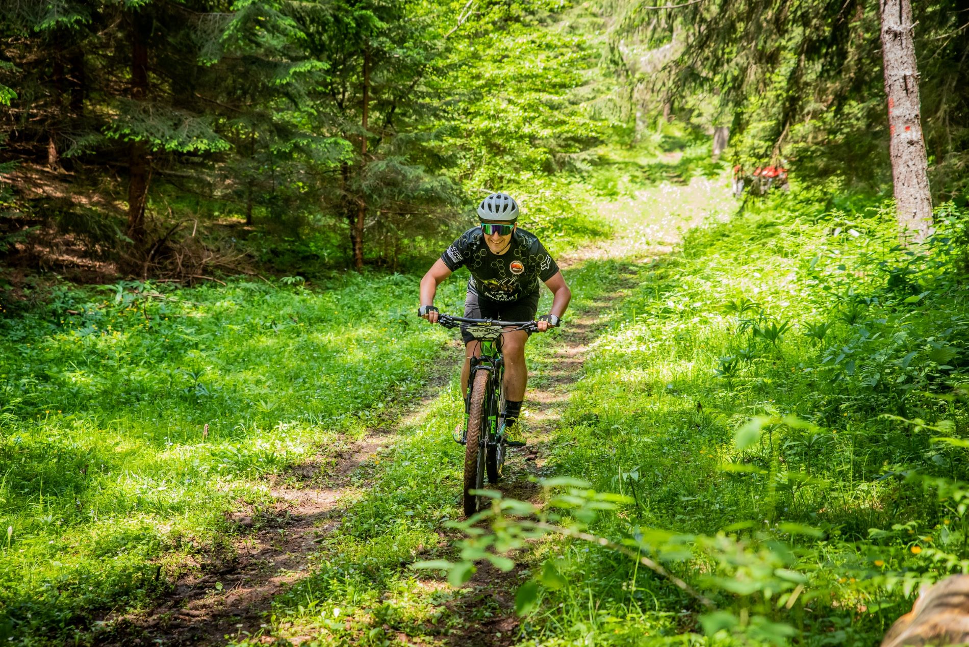
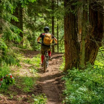
Cycling
Experience adventure and awaken adrenaline on exciting cycling trails across Republika Srpska.
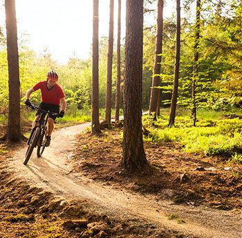
Interesting trails that pass through the enchanting landscapes of Srpska can be found in all our regions.
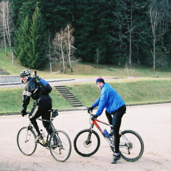
In the northern part of Srpska, Banja Luka and the Kozara area are perfect for mountain bikers, offering many trails. The “Vrbas Adventure Resort” represents a true challenge with three different routes, length 102 km. Traveling along these trails, discover a natural paradise and cultural heritage by visiting log churches, monasteries, and fortresses.
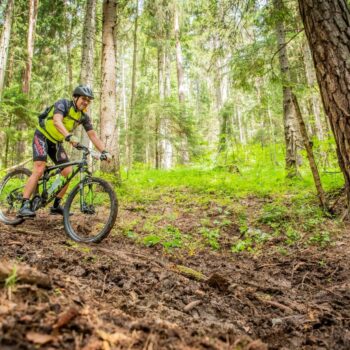
MTB enthusiasts should not miss the trails on Kozara Mountain, which are known for their diversity of plants and animals, forest complexes, viewpoints, meadows, streams, and dynamic terrain that will make your ride even more attractive. One trail is 34 km long, and the other is 64 km.
Also, a special experience is mountain biking around Trebinje, located in the southernmost part of Srpska. Sun, massive rocks, and beautiful landscapes make this ride unique. Start your cycling route around the city of Trebinje, riding along Austro-Hungarian roads and visiting the ancient towns of Strač, Golo Brdo, and Petrina.
Recently, a very popular destination for mountain biking is Pecka, in the region of Mrkonjić Grad, with well-marked trails totaling over 200 km, picturesque routes ranging from easy to medium difficulty, and a variety of nearby attractions.
The Cycling Federation of Republika Srpska has existed since 1993. For more information on activities, cycling regions, and marked routes, click here
Cycling Routes of Republika Srpska
Banja Luka Region
- Banja Luka – Krupa – Ledenice: 55 km, 550 m elevation
- Banja Luka Region – Banja Luka – Knezevo – Varos: 100 km, 1200 m elevation
- Banja Luka – Mrkonjic Grad – Manjaca: 120 km, 1500 m elevation
- Mrkonjic Region – Balkana – Stricici – Krupa: 88 km, 1300 m elevation
- Mrkonjic – Balkana: 65 km, 750 m elevation
Kozara Region
- Dubica – Kozara: 160 km, 1700 m elevation
- Dubica – Potkozarje: 80 km, 500 m elevation
- Una region: 103 km, 818 m elevation
Herzegovina Region
- Trebinje – Popovo Polje: 70 km, 227 m elevation
- Trebinje – Dubrovnik – Herceg Novi: 111 km, 1635 m elevation
- Trebinje – Montenegro – Bileća
- Trebinje – Ljubinje – Stolac – Bileca: 180 km, 2111 m elevation
Romanija Region
- Visegrad – Pale – Jahorina: 120 km, 3800 m elevation
- Zvornik – Vlasenica: 173 km, 2865 m elevation
- Jahorina – Podgrap – Jahorina: 50 km, 1000 m elevation
- Jahorina – Istocno Sarajevo – Trebevic: 58 km, 1464 m elevation
- Jahorina – Igman – Istočno Sarajevo – Jahorina: 108 km, 2288 m elevation