
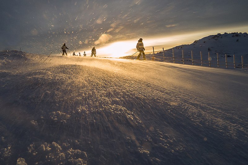

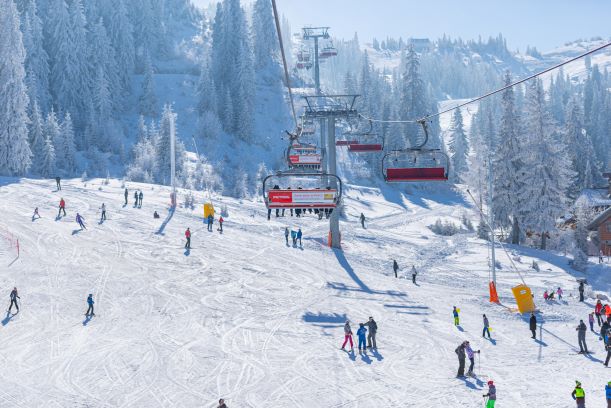
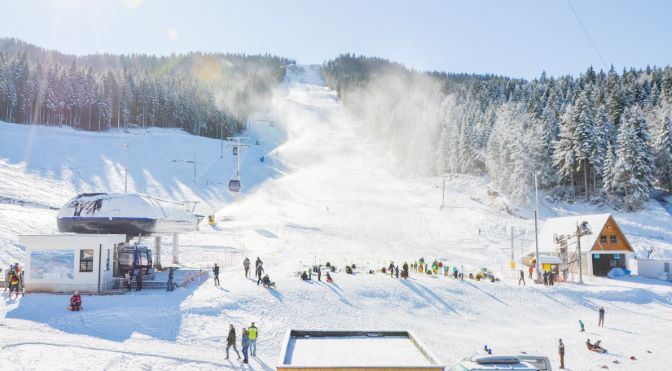
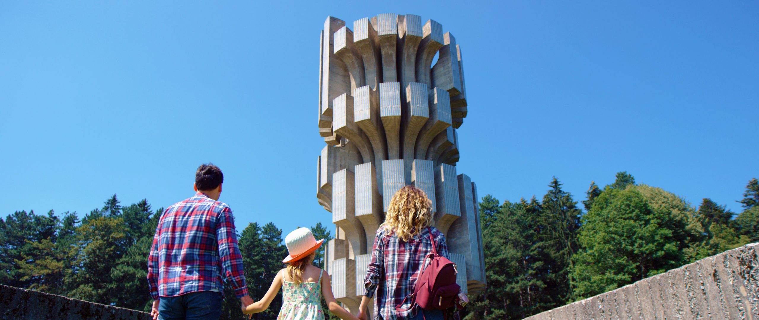
Mountain Jahorina – ski center
Jahorina is located in the heart of the Balkans, at the junction of cold continental and warm Mediterranean climate, with the highest peak of Ogorjelica 1916m above sea level, which makes it very healthy and pleasant to spend the winter
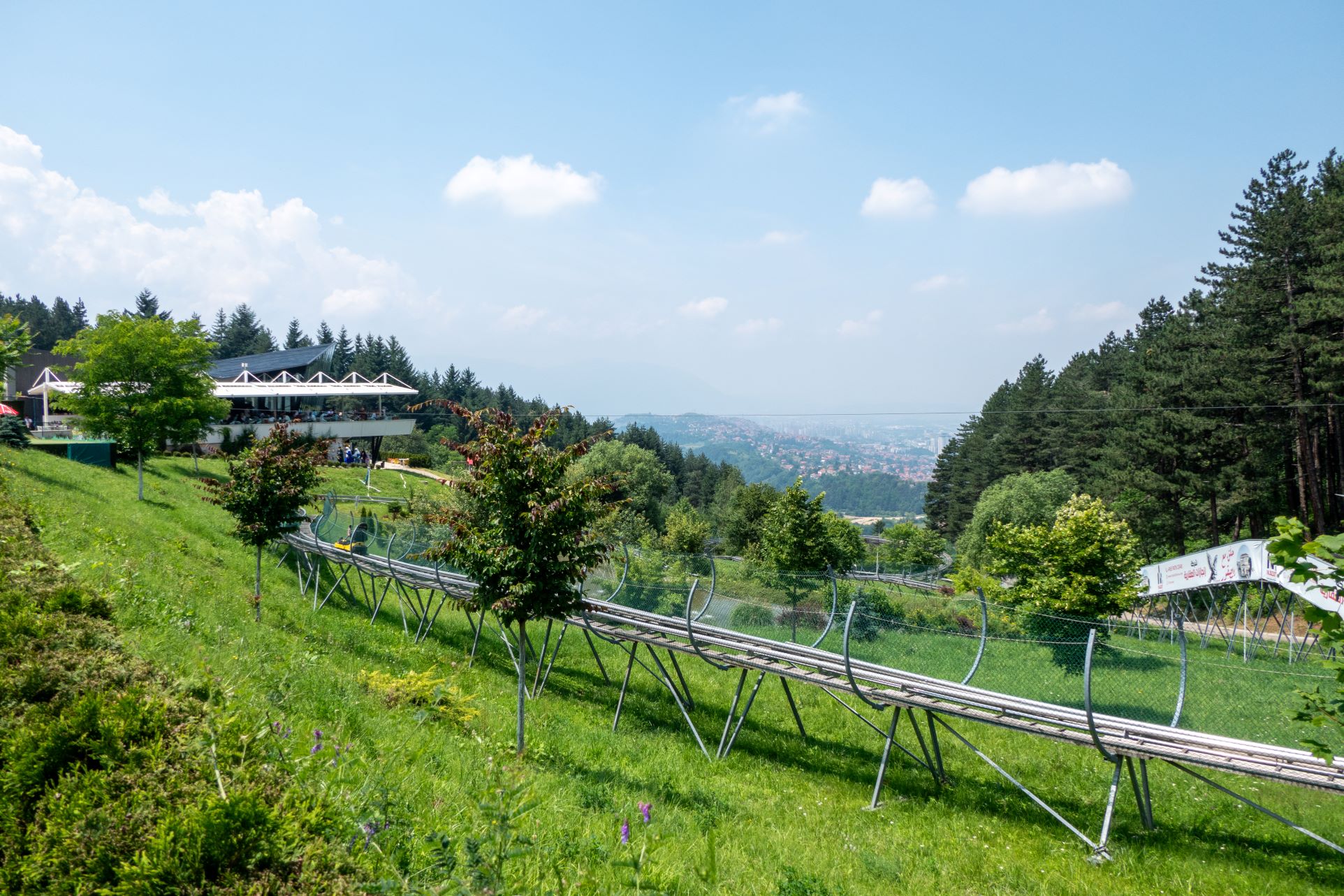
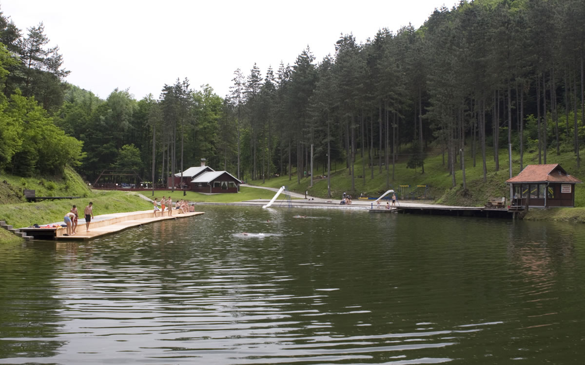
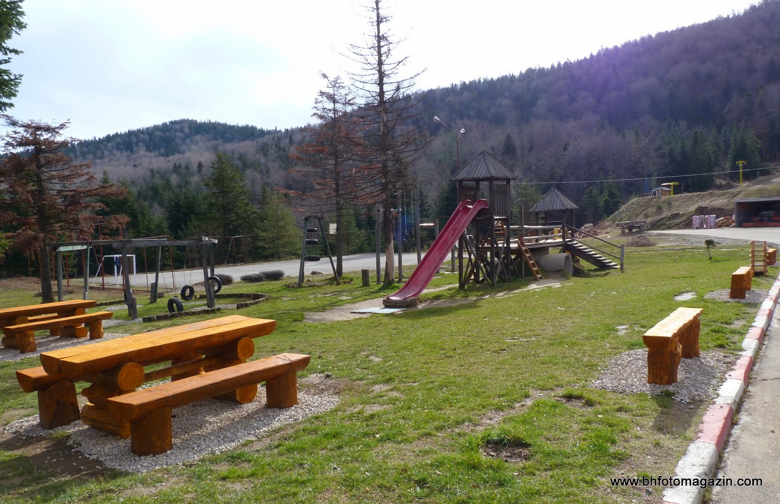
Ski center “Ravna planina”
Ski center “Ravna planina” is located about two kilometers from Pale and is one of the most modern ski centers in Bosnia and Herzegovina, as well as an oasis of peace and natural beauty during the summer. This ski resort started
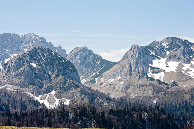
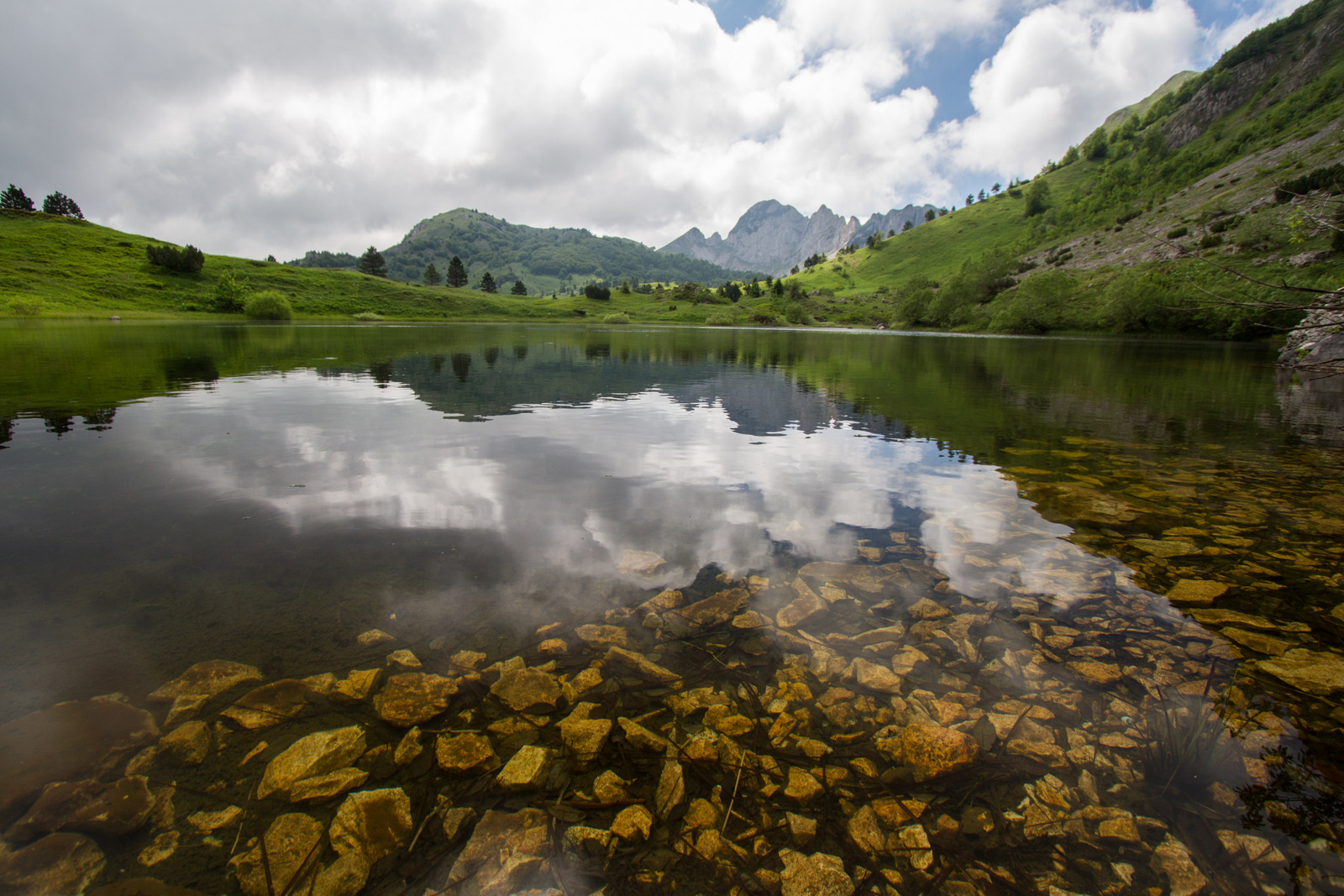
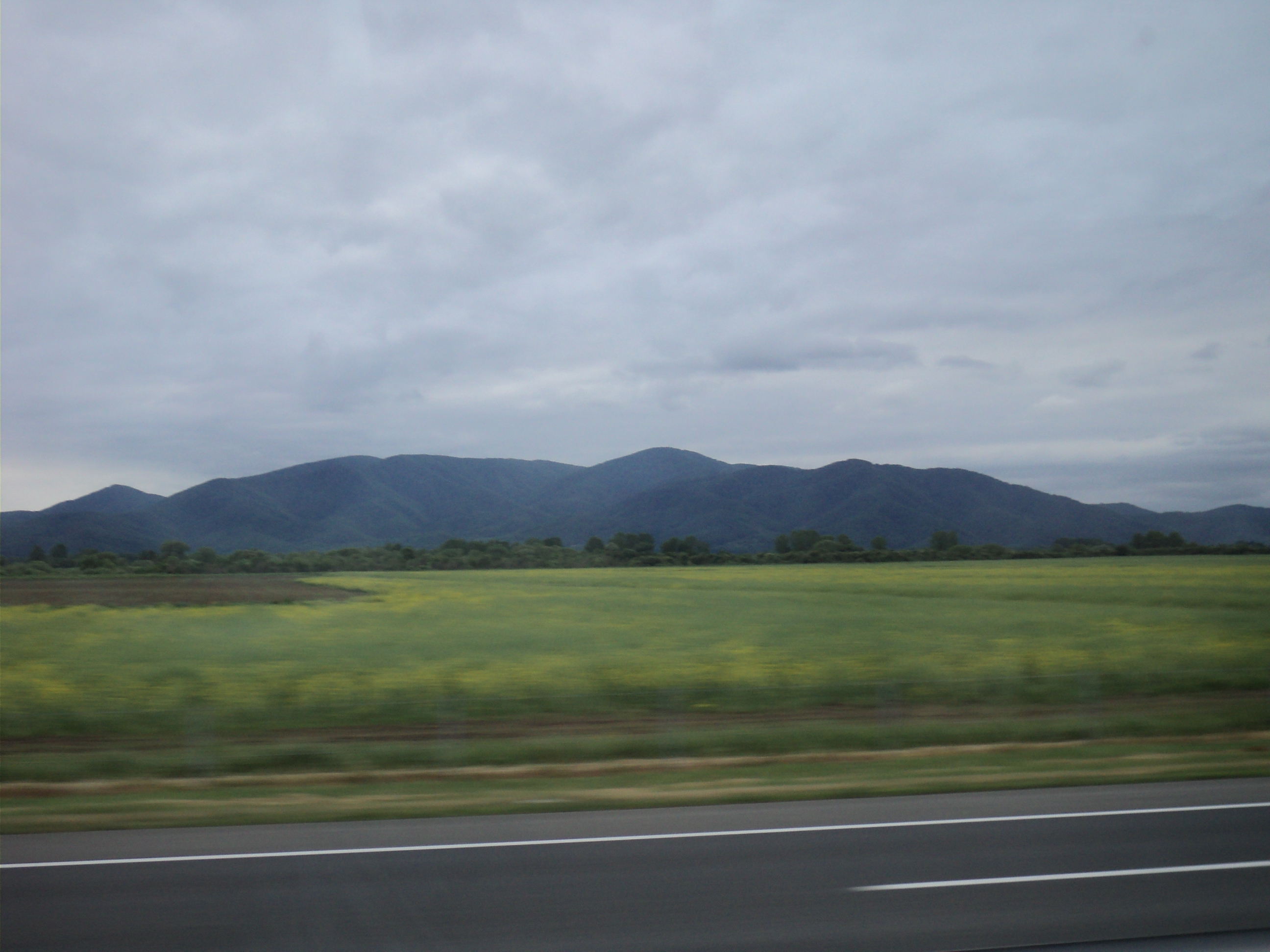
Mount Volujak
Mount Volujak is the mountain attached to Mount Maglić and has a number of peaks of over 2000 metres in altitude (the highest one is Vlasulja with 3337 m). In the northwest the mountain borders Sutjeska Canyon, whose cliffs separate
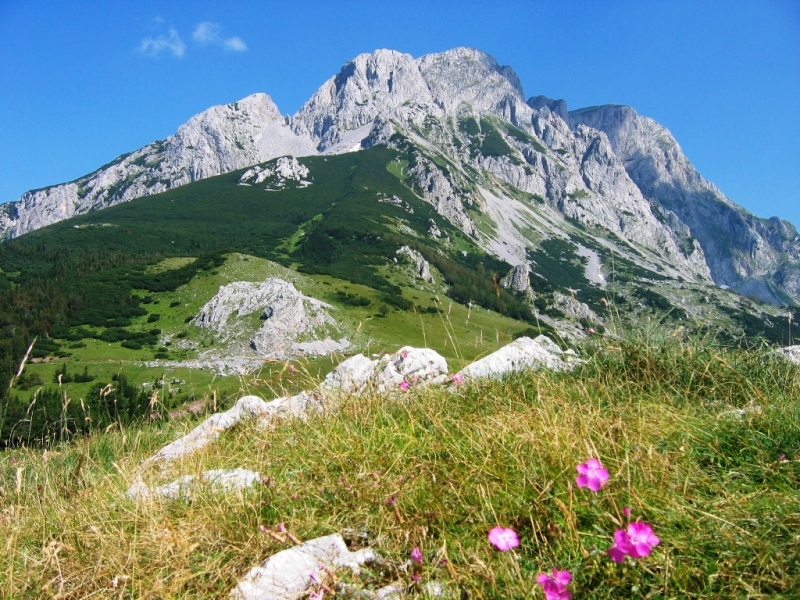
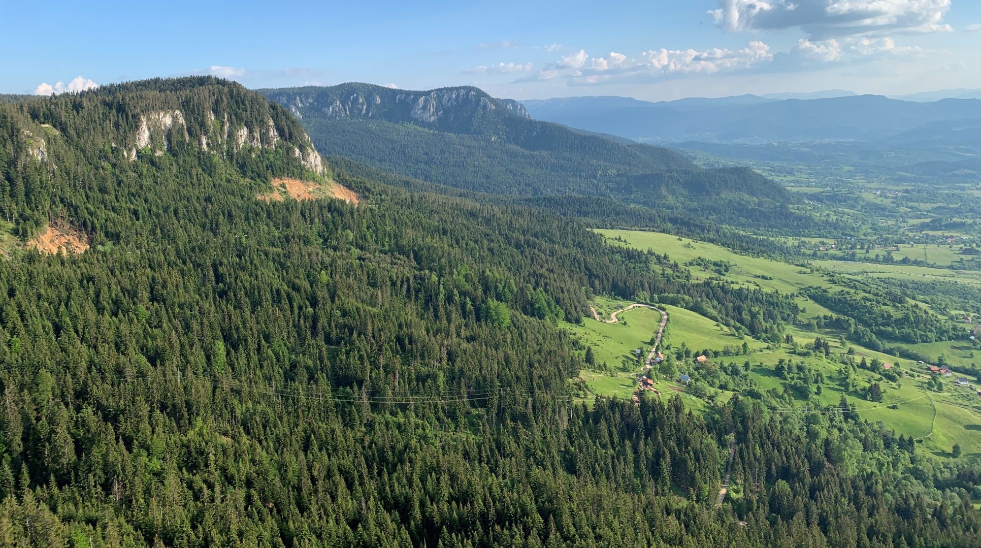
Mountain Maglić
The mountain is about 20 km southwest of Foča on the border of BH and Montenegro. Maglić is with its 2 386 m the highest peak in BH. It is surrounded on the north by Vučevo, on the west by
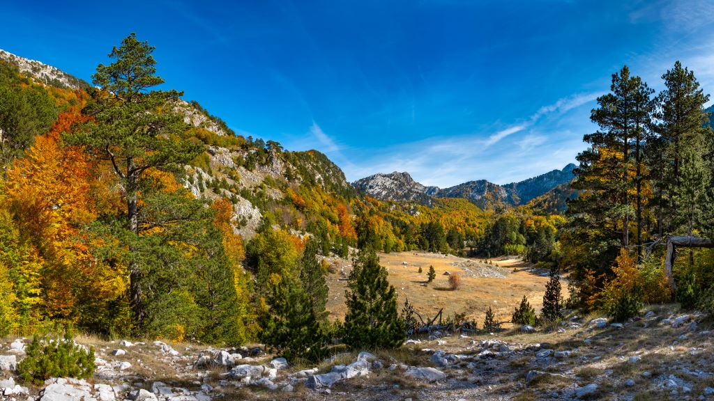
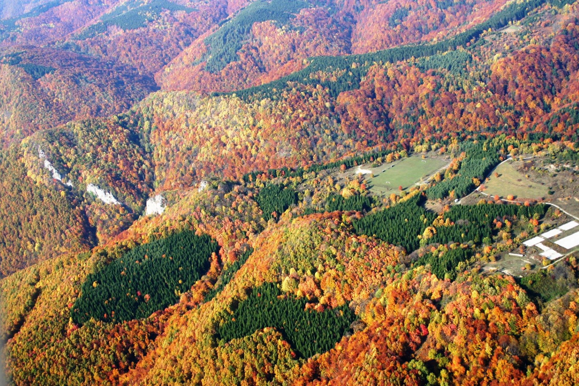
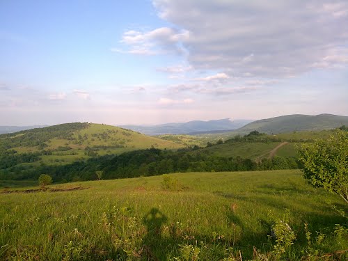
Зеленгора
Зеленгора (са највећим врхом Брегоч од 2 014 мнв.) је планинско подручје које се налази на југоисточном дијелу Републике Српске и саставни је дио националног парка “Сутјеска”. За многе најљепша је планина ових простора. Пространа је, непрегледна, богата шумом, зеленим пашњацима
Mountain Ozren
Mount Ozren is located in the northern part of Bosnia and Herzegovina in a lower mountain range, between Bosna River to the west amd Sperča River to the north. Mount Ozren stretches southeast along wonderful Krivaja River in the south
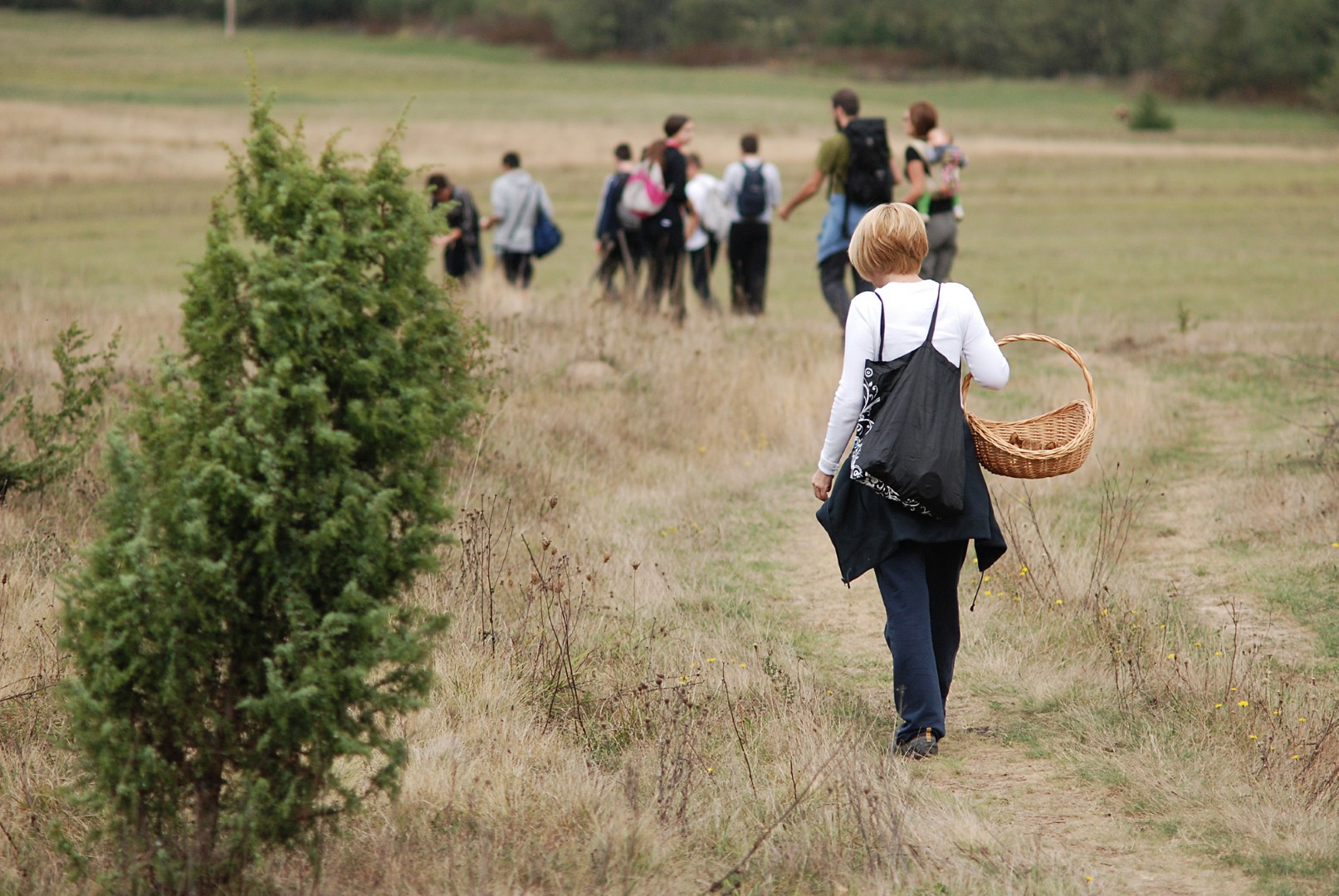
Mount Motajica
Numerous visitors, especially hunters, hikers, mushroom hunters and nature lovers, are also attracted to Mount Motajica, on whose peak Gradina (652 m) is one of the most popular excursion places in Srbac. This is one of the last oasis in
Šiški kamen
Šiša is one of the most beautiful mountains in the western part of the Republic of Srpska. It is covered with large and thick forests of conifers and hillocks, as well as numerous slopes with lush grasses. The stone is
Mount Lisina
Mount Lisina is a small mountain range; its highest peak Bandira is 1467 meters above sea level and, due to its geological structure, the mountain is very rich in water, as well as a variety of flora and fauna. Due to
Kozara National Park
Kozara National Park, sized 3,494.51 ha, was established in 1967 with the aim of protecting Kozara mountain and its cultural, historical and natural values.Central part of the National Park and Kozara mountain is the area of Mrakovica, with its flat
Клековача
Клековача је кречњачка планина у западном дијелу БиХ са највишим врхом Велика Клековача (1962 м). Она је највиша планина овог дијела БиХ. Окружују је Срнетица (1375 м) , Грмеч (1604 м) , Осјеченица (1791 м) и Луњевача (1706 м). Налази се
Borja
Borja is located in the southeastern part of the west of Republic of Srpska. Natural and climatic conditions in Mount Borje provide opportunities for active recreation, sport teams preparation and holidays. Snow on Mt. Borje is of good quality and