
Ugljevik through history
Medieval stećak tombstones at five locations, Roman forts in the villages Tutnjevac and Mezgraja (Jablan town), and the site on Baljak hill in village Bogutov, where an ancient Greek coin was found, confirm that the area of modern-day Ugljevik was
Srebrenica through history
The area that now gravitates to Srebrenica has a very interesting history and rich cultural and historical heritage. The first mentioning of Srebrenica was in Dubrovnik documents of 1352. It was being settled even in prehistoric time and was a
Rogatica through history
Human settlements in the area are from prehistoric age. After a certain interruption in the continuity of settlement, people have continued to settle the area through different historical periods until today. Regarding its past and in terms of Slavic settlements,
Milići through history
Tombstones located throughout the municipality are silent witnesses to the life in the area. There are remains of a castle which was, according to tradition, built in mid 15th century by Jerina (Irina), a Serbian despot of Greek origin, the wife
Лакташи кроз историју
Постојање праисторијских људских заједница на простору општине Лакташи може се пратити још од неколико десетина хиљада година прије нове ере, па све до првих година нове ере, када су уз помоћ легија славног војсковође Германикуса власт успоставили Римљани и тиме
Kostajnica through history
Human settlements in Kostajnica area are known as early as from the period of 'Vučedol culture' and afterwards from bronze and iron age. According to the remains found and documents preserved from the Roman times, commercial traffic was present across
Foca through history
Drina River area was first mentioned in Chronicle of the Priest of Duklja (medieval chronicle written by an anonymous priest from Duklja, present-day southeastern Montenegro) as 'Hotcha' and 'Choca' in the 12th century. 'Hotcha' was an important stop in the caravan
Derventa through history
All available data from the past and scientific papers suggest that the Derventa area has always been ideal for settlement, because the climate and vegetation were suitable for life of a community. Serious traces were left by the Romans, although the
Banja Luka through history
The present Banja Luka region and its surrounding area was convenient for settling and living even in ancient times, which is best evidenced by archaeological remains of the material culture of the people who once lived in this area. In pre-Roman
Drinić
Drinić, a place of renewal and new beginning is located in a picturesque plain rimmed with slopes of mountains Klekovača, Oštrelj and Srnetica, by the Sarajevo-Jajce-Bihać main road. Immediately before Bosanski Petrovac from the direction of Ključ, turn left and
Čelinac
More agreeable life conditions made Čelinac and its surroundings vibrant long ago, the fact confirmed by numerous arhaeological findings. Čelinac area has about ten Illyrian ruins, one of the most famous being on the 10th kilometre away from Banja Luka, immediately
Šamac
Municipality of Šamac is located in the northeastern part of Republic of Srpska and covers the central part of Posavina. Due to exceptionally favourable position it has, Šamac occupies an extremely important strategic and geographic position in South-East Europe. It is
Čajniče
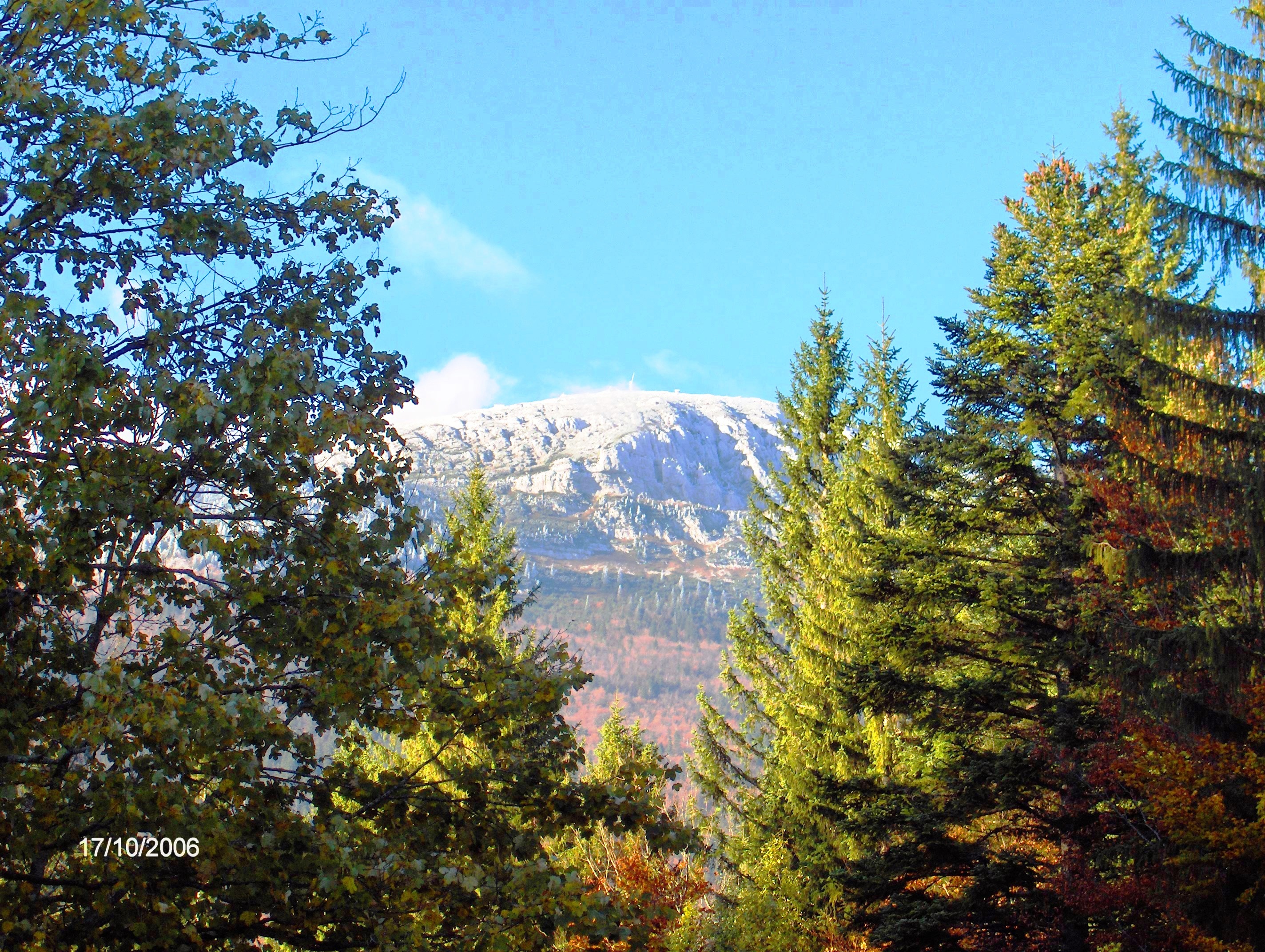
Čajniče is a picturesque small town, town-border, town-crossroad of the roads and people's destinies. Čajniče is situated on 816 m above sea level and it has been known for many years as an air spa, in the wonderful areas rich
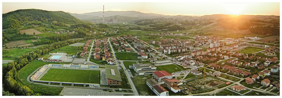
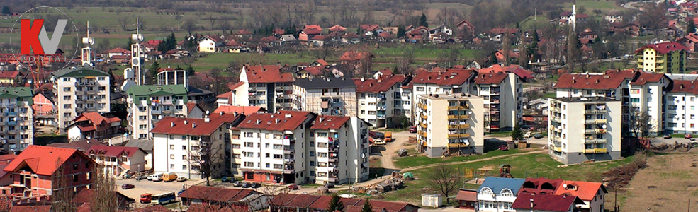
Ugljevik
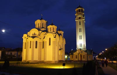
Ugljevik municipality is located in the central part of Republic of Srpska, on the eastern slopes of the Mount Majevica towards Semberija. The urban part of Ugljevik, with the administrative centre, is located on the twentieth kilometre of the regional road
Petrovo
Petrovo, formerly a mining settlement and small town, but today the largest settlement in the area of Ozren. It is located in the north-eastern foot of the gentle Ozren Mountain and it extends along the left valley of the Spreca River. Its
Pelagićevo
Pelagićevo municipality is situated in the northeastern part of Republic of Srpska in flat and fertile Posavina, and was formed after the signing of the Dayton Agreement. Although small in area and relatively young, Pelagićevo has significant tourism potential, which complement

Osmaci
Osmaci is the municipality in the eastern part of Republic of Srpska with a considerable economic potential. A good basis for future strong development of this municipality is enabled by advantageous geographic location, the configuration of the terrain, clean air, quality
Lopare
Lopare is located in a picturesque landscape, where Mount Majevica connects with the Semberija and Posavina plain. The first historical data on Lopare are from the second half of the 18th century, where it is described as a stopover for trade
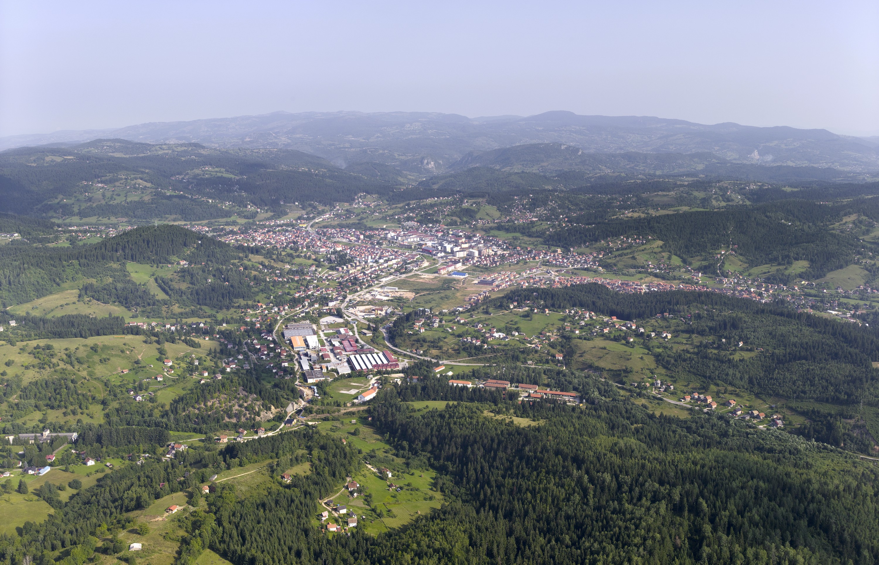
Kotor Varoš
Kotor Varos municipality is located in the central part of RS, and mostly is hilly and mountainous area surrounded by mountain ranges Uzlomac, Borja Vlašić and slopes of Mt. Čemernica. The backbone of the road network in the municipality of
City of East Sarajevo
City of East Sarajevo is the administrative, economic, cultural, university, tourist and sports centre of the eastern part of the Republic of Srpska. It cinsists of the following municipalities: Pale, Sokolac, East Ilidža, East Old Town, East New Sarajevo and

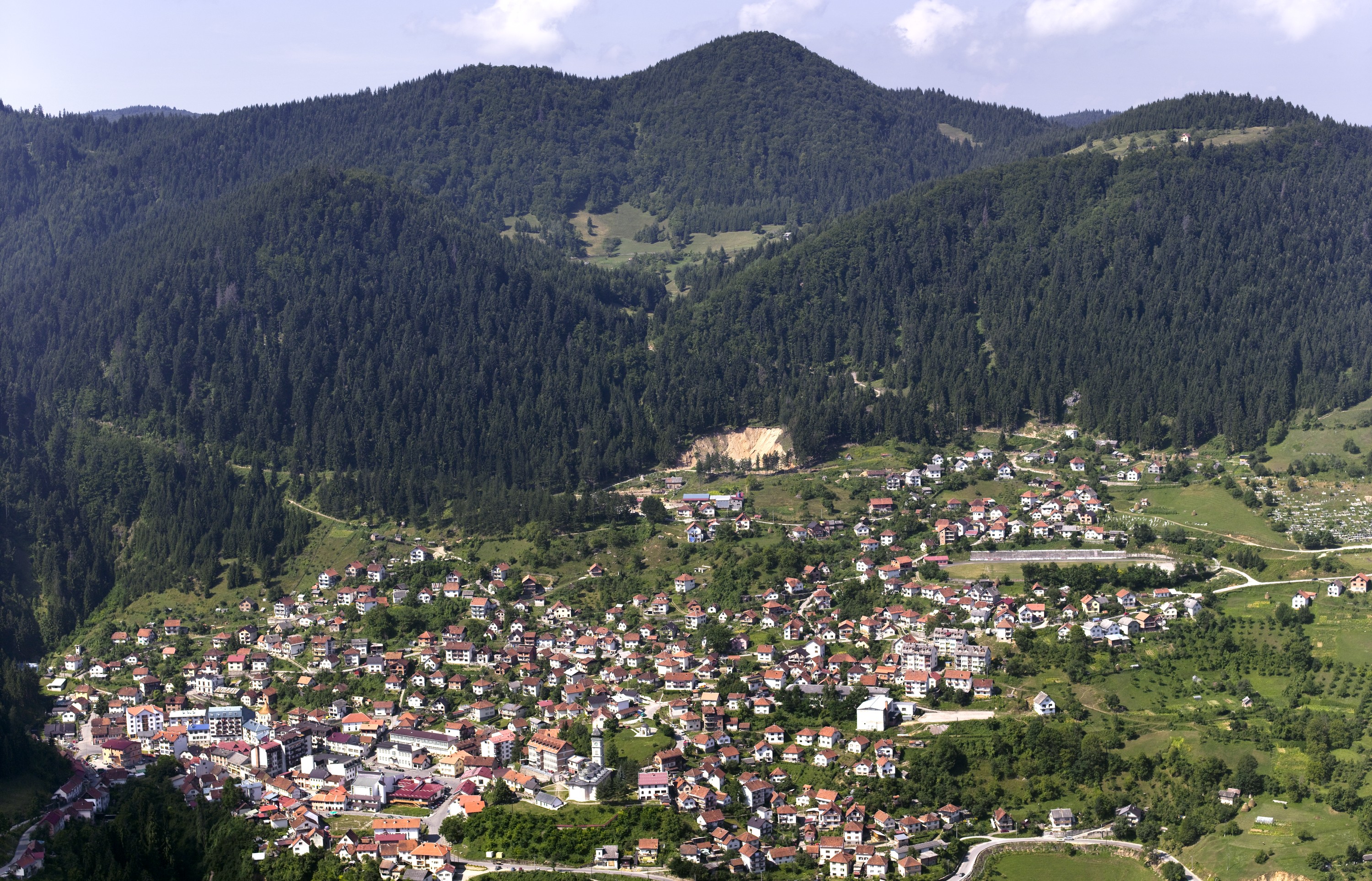
Kneževo
On the timbered plateau on the north-western slopes of Vlašić mountain, there is Kneževo municipality. There are many wooden churches (the best known are St Nicola’s and St Elias’), included in the cultural heritage, that are proof of the rich history