
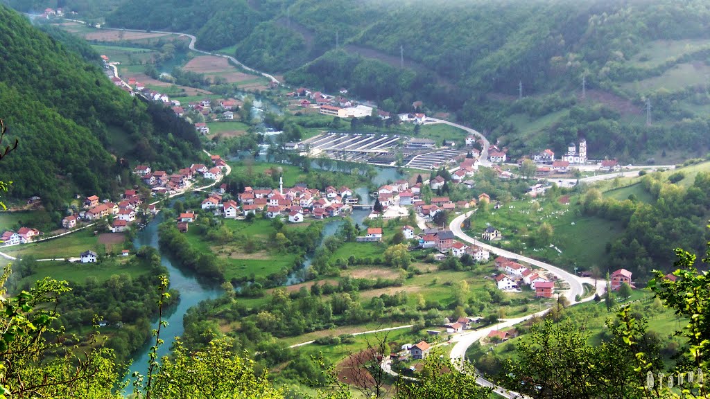
Jezero
Jezero has a long history. It is assumed that, even during the Illyrians, there was a village in this area and, according to the tradition, a canal was dug by order of the Illyrian Queen Teuta so that the Illyrian
Doboj
With its location at the key point on the rivers of Bosna, Usora and Spreča, Doboj is the largest railway hub in the country and the seat of Željeznice Republike Srpske (RS Railways, transl. note). The first official record of
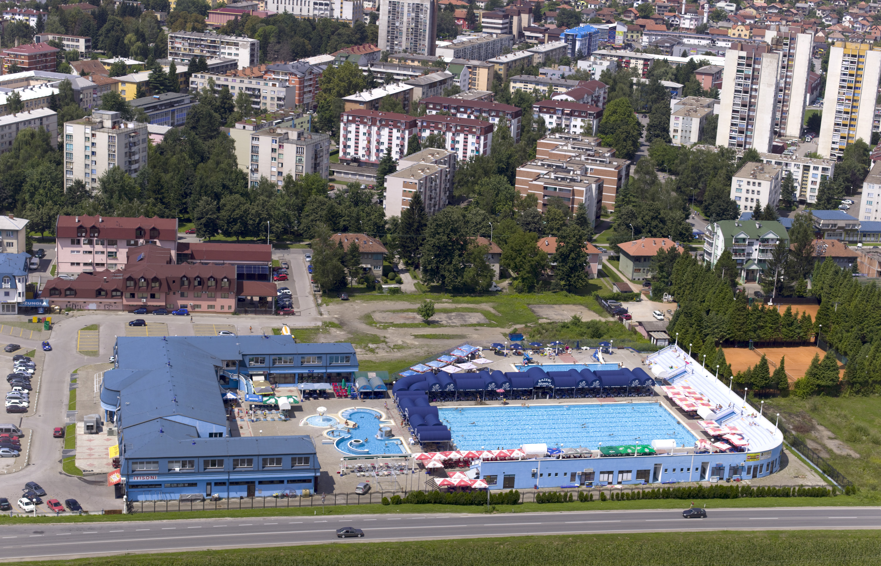
Bijeljina
Bijeljina is situated in the north-eastern part of Republic of Srpska, and it is a centre of Semberija region. The archaeological findings show that Semberija region was inhabited even in the prehistoric times. Bijeljina is easy recognisable for its vast central
Ribnik
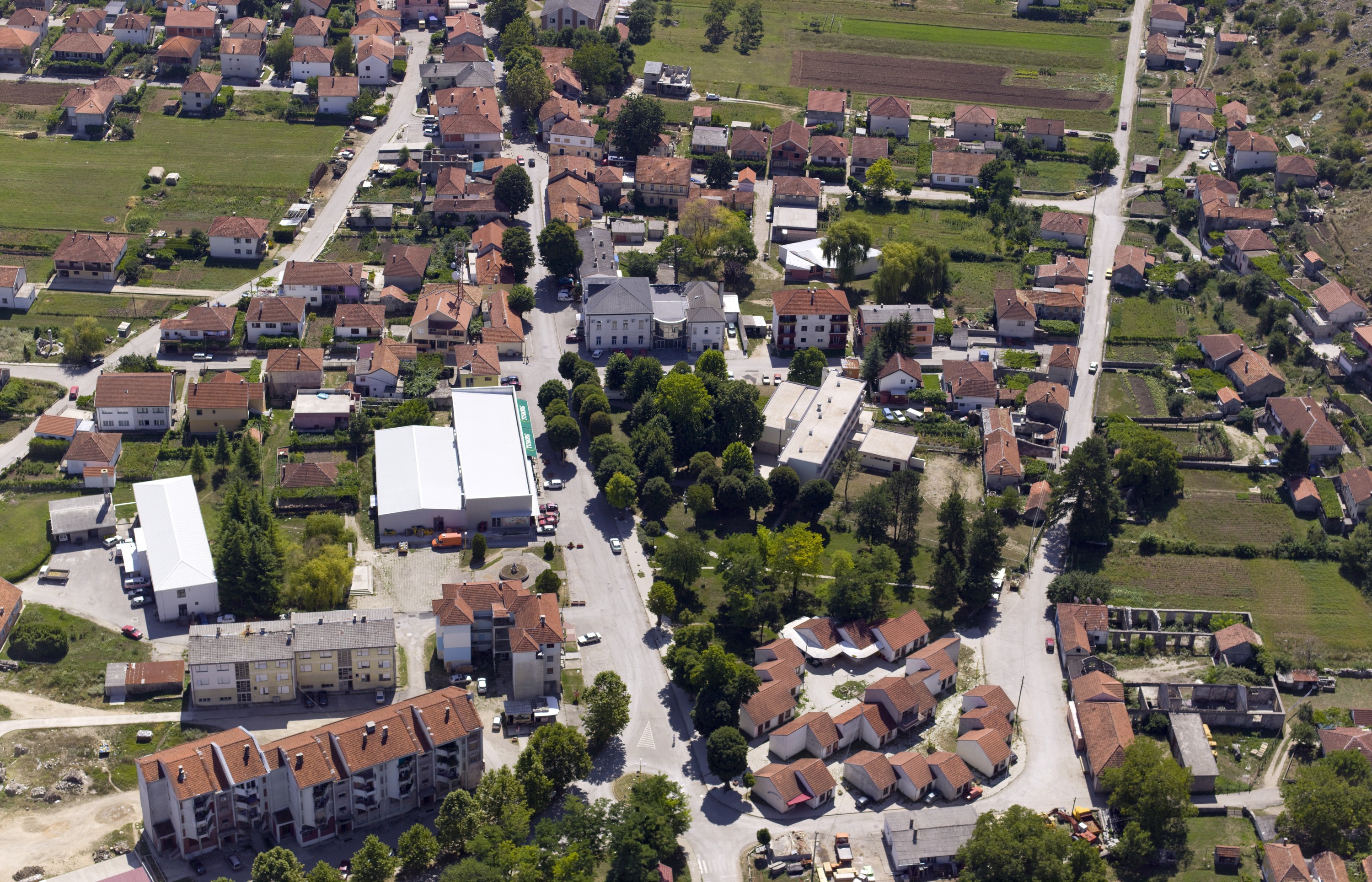
Municipality of Ribnik is located in the northwestern part of Republic of Srpska and is one of the border municipalities in this part of Republic of Srpska. Ribnik as a settlement was founded in the left bank of River Ribnik, with

Foča
Foča municipality area boasts high mountain ranges that belong to Dinaric Alps: Maglić, Zelengora, Vučevo, Volujak, Bioč and Ljubišnja. These mountains are a real challenge for hikers, mountaineers, trekkers and all fans of nature. Sutjeska National Park is the oldest national
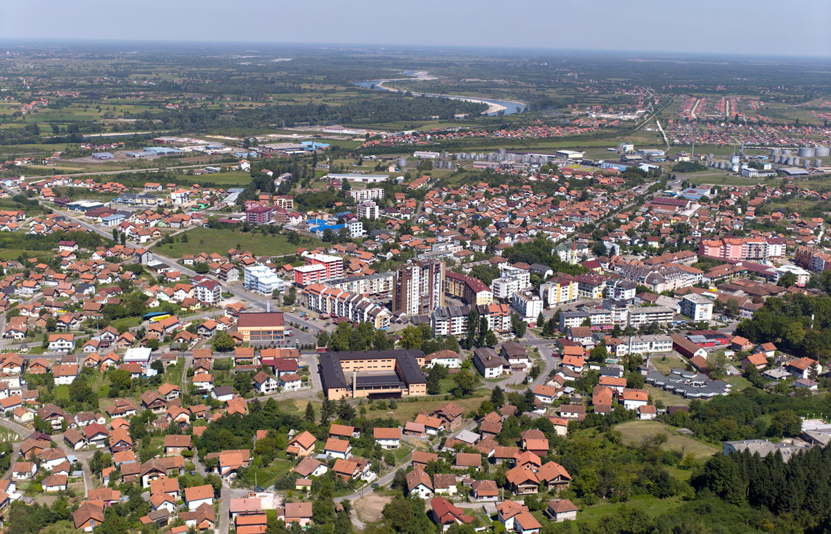
Teslić
Teslić Municipality is one of the largest municipalities in Republic of Srpska, which extends to 846 square kilometers. It is rich in natural and anthropogenic tourist resources, which are characterized by diverse topography and preserved natural wealth. Located in the northern

Zvornik
Because of its great strategic importance, the town that was considered the "key of Bosnia" was a frequent target of various invaders. The Drina River and Zvornik lake are rich in trout and suitable for fishing, water sports and relaxation. Banks of

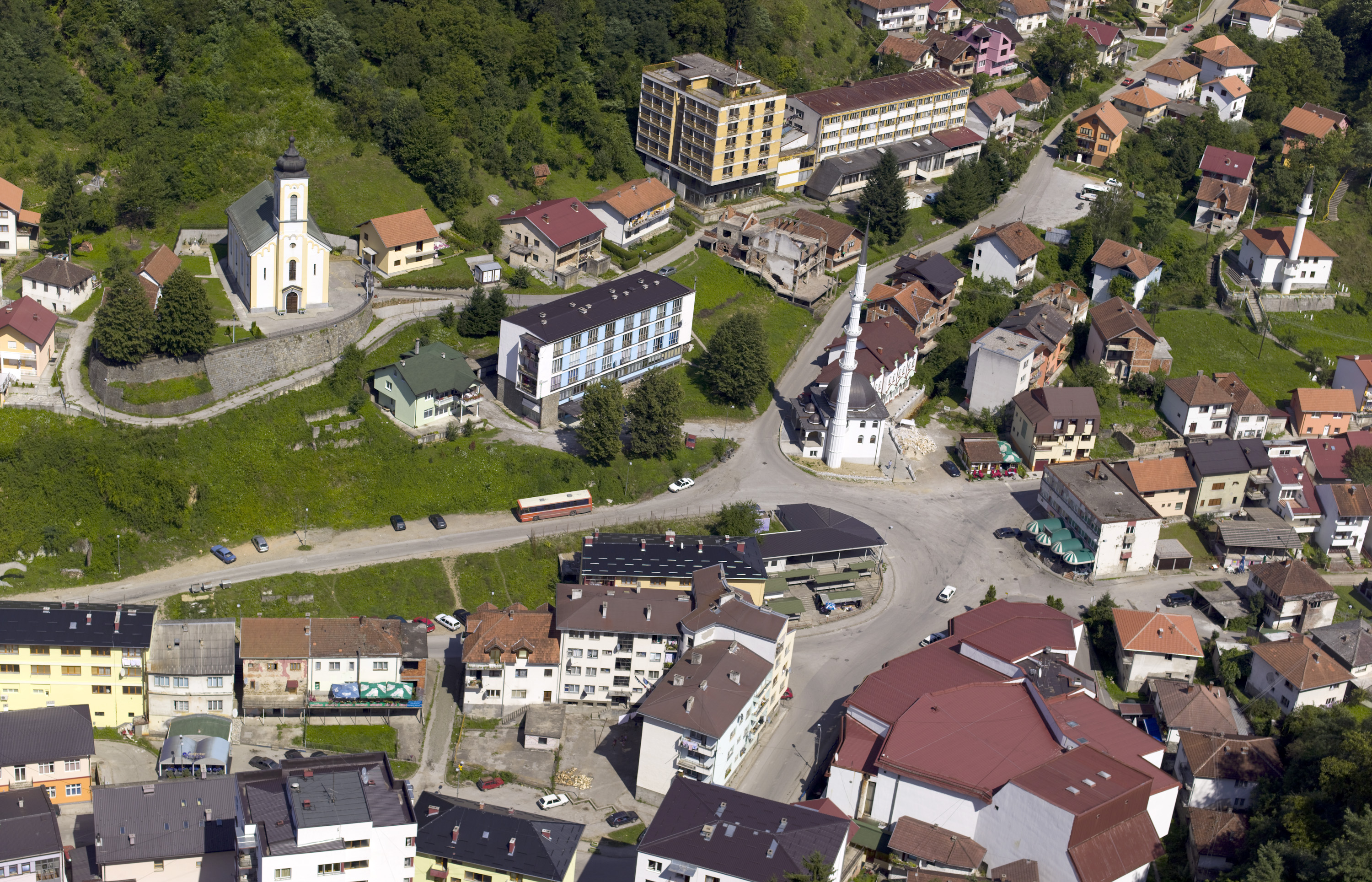
Rudo
There are numerous sites of burial grounds and stećak tombstones that have not been sufficiently explored and investigated. The whole area is related to the name and work of Mehmed Pasha Sokolović (Turkish: Sokollu Mehmed Pasha), who was born in
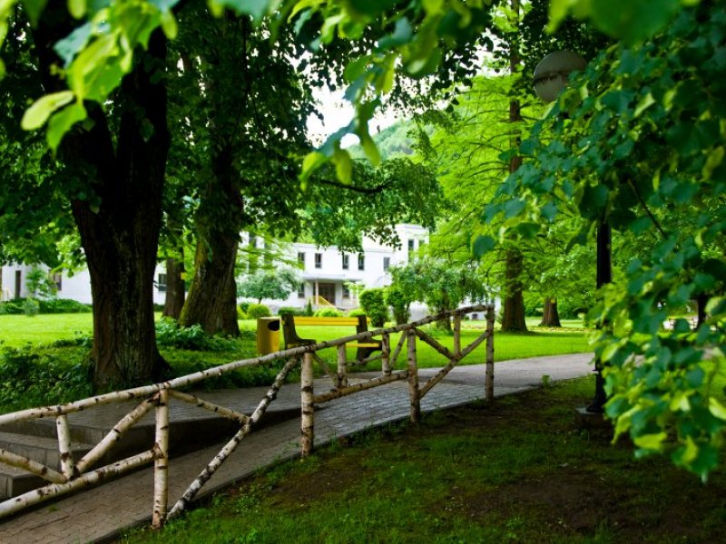
Han Pijesak
On the old caravan road from Sarajevo through Romanija Mountain, at every 10 kilometres, there was one han (Tur. hostelry) for rest, staying overnight and billeting of the travellers, soldiers and trade caravans. One of such hans was Han Pijesak,

Trebinje
Trebinje, the city of sun, wine and plane trees, is located in the far south of Herzegovina, on the banks of the River Trebišnjica below Mount Leotar. It is located in the triangle of World Heritage sites - Dubrovnik (28
Rogatica
Rogatica municipality stretches over the middle-eastern part of Republic of Srpska and is an area of exceptional beauty, hilly and mountainous terrain intersected with evergreen and deciduous forest and clear mountain rivers abundant in fish. Together with a rich cultural
Novo Gorazde
The municipality of Novo Gorazde was established by a division of the pre-war Gorazde in 1994, and verified after the Dayton Peace Agreement in 1995. This extremely hilly and mountainous area is located under the eastern slopes of Mount Jahorina,
Modriča
Modriča municipality is located in the north of the Republic of Srpska and Bosnia and Herzegovina, with the area of 297 km2. It is located about 30 km away from the Belgrade - Zagreb highway and has a good road
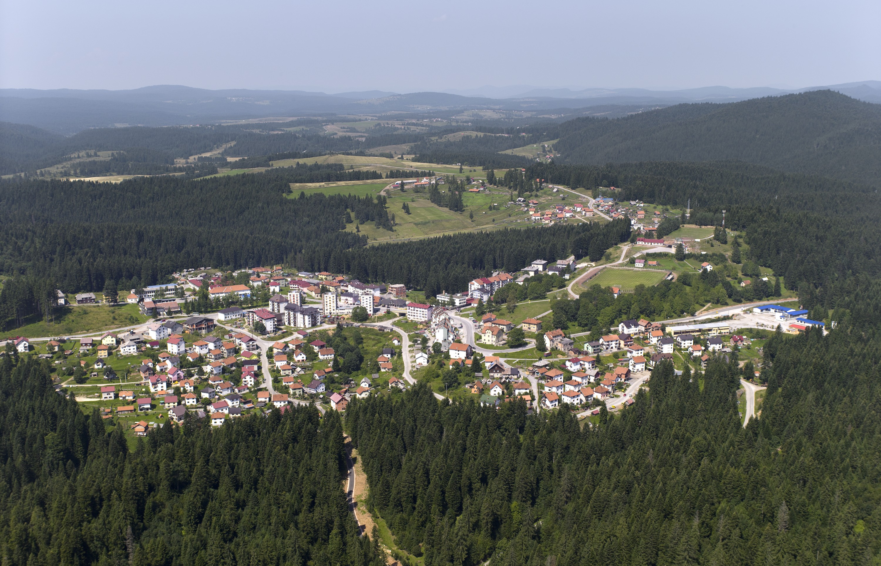
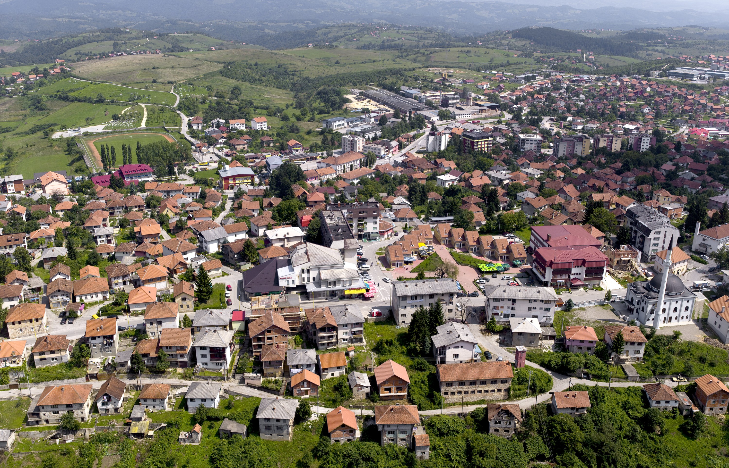
Sokolac
The municipality of Sokolac is located in the eastern part of Republic of Srpska, on the wide plateau of Glasinac at the foot of Mount Romanija, an area of beautiful and smooth hills and mountains, high plains, clear mountain rivers
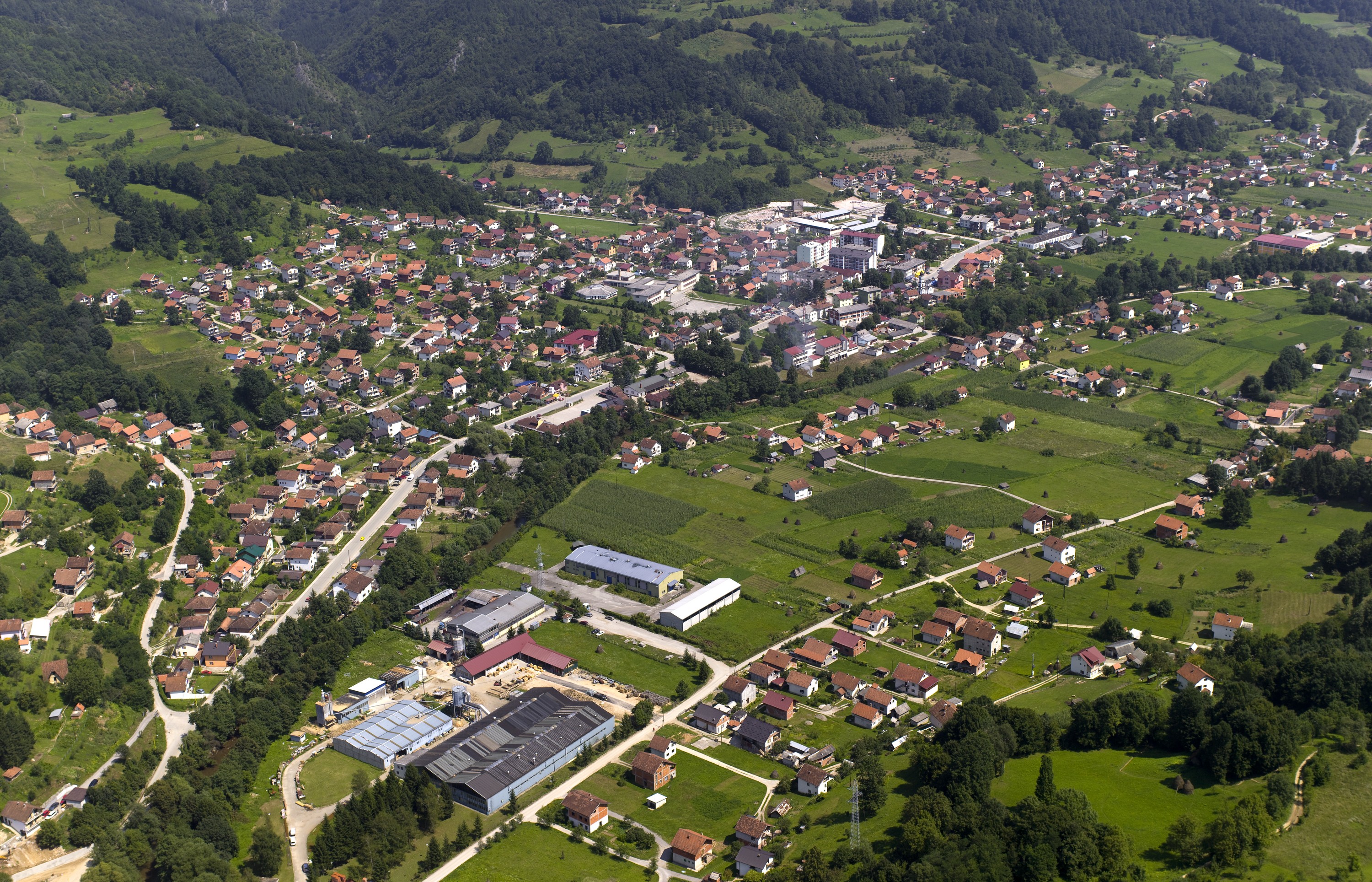
Šekovići
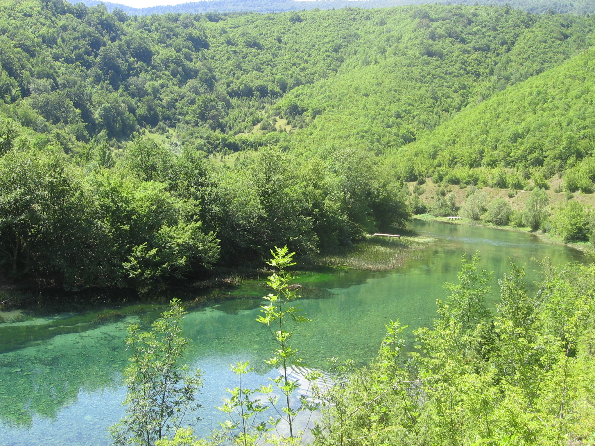
Šekovići municipality is located in the area of the River Drinjača, a clear mountain river that provides ideal conditions for fishing. It flows through the municipality in the length of 23 km, and the following hills are scattered on the
Vlasenica
Its geographical position and altitude of 688 meters classify Vlasenica as a mountainous town. Vlasenica is one of the oldest settlements in the Republic of Srpska, Bosnia and Herzegovina because its name, Birac, is mentioned as early as the thirteenth century.
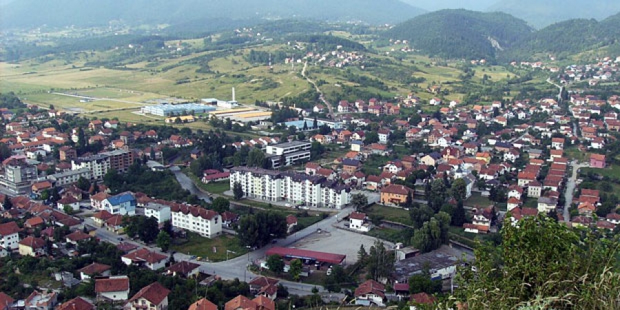
Milići
Milići municipality is located in the eastern part of the Republic of Srpska and stretches over 285 sq km of hilly terrain, at the altitude of 250 to 1500 m. It is characterized by a moderate climate, abundance of greenery
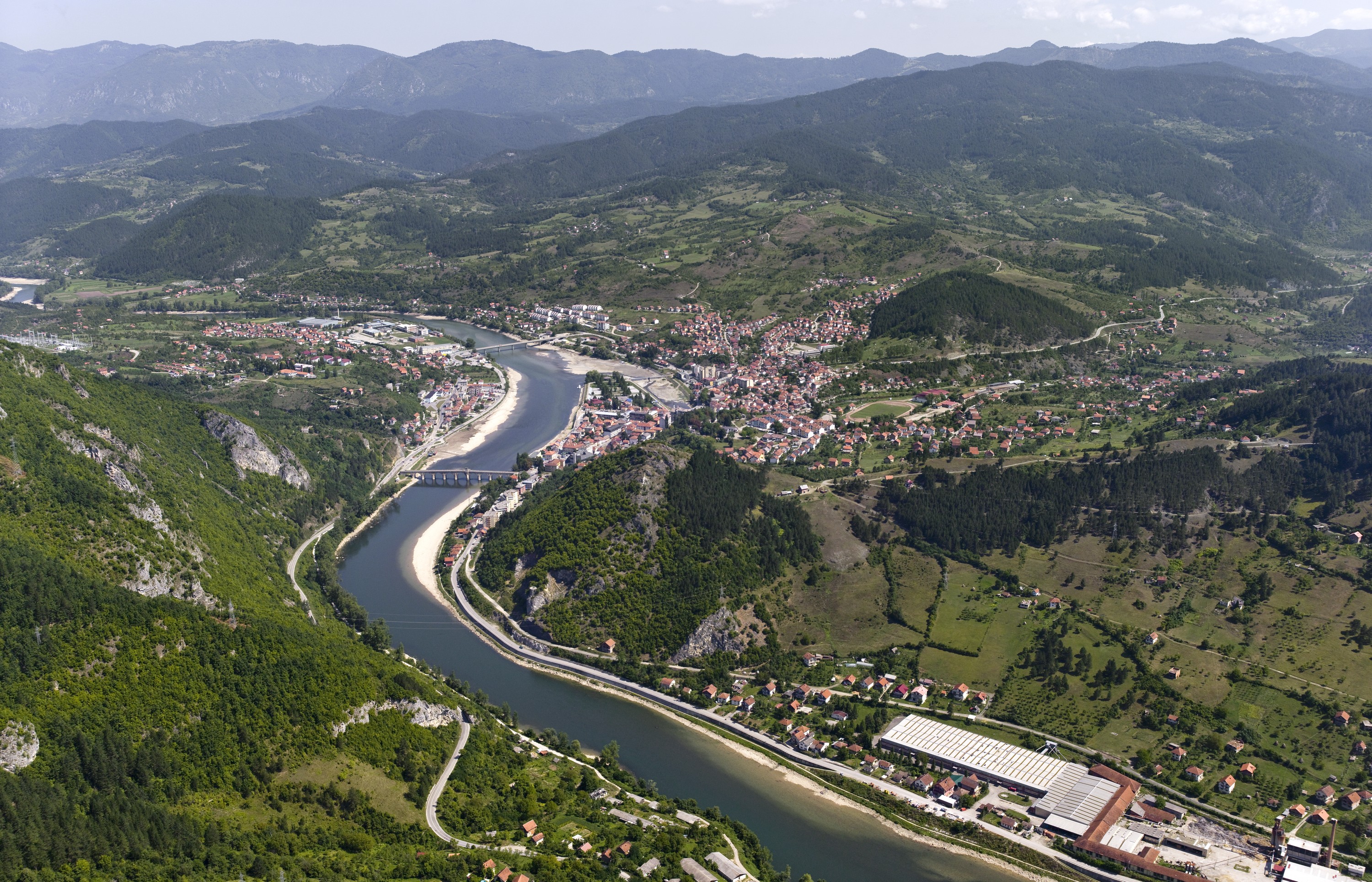
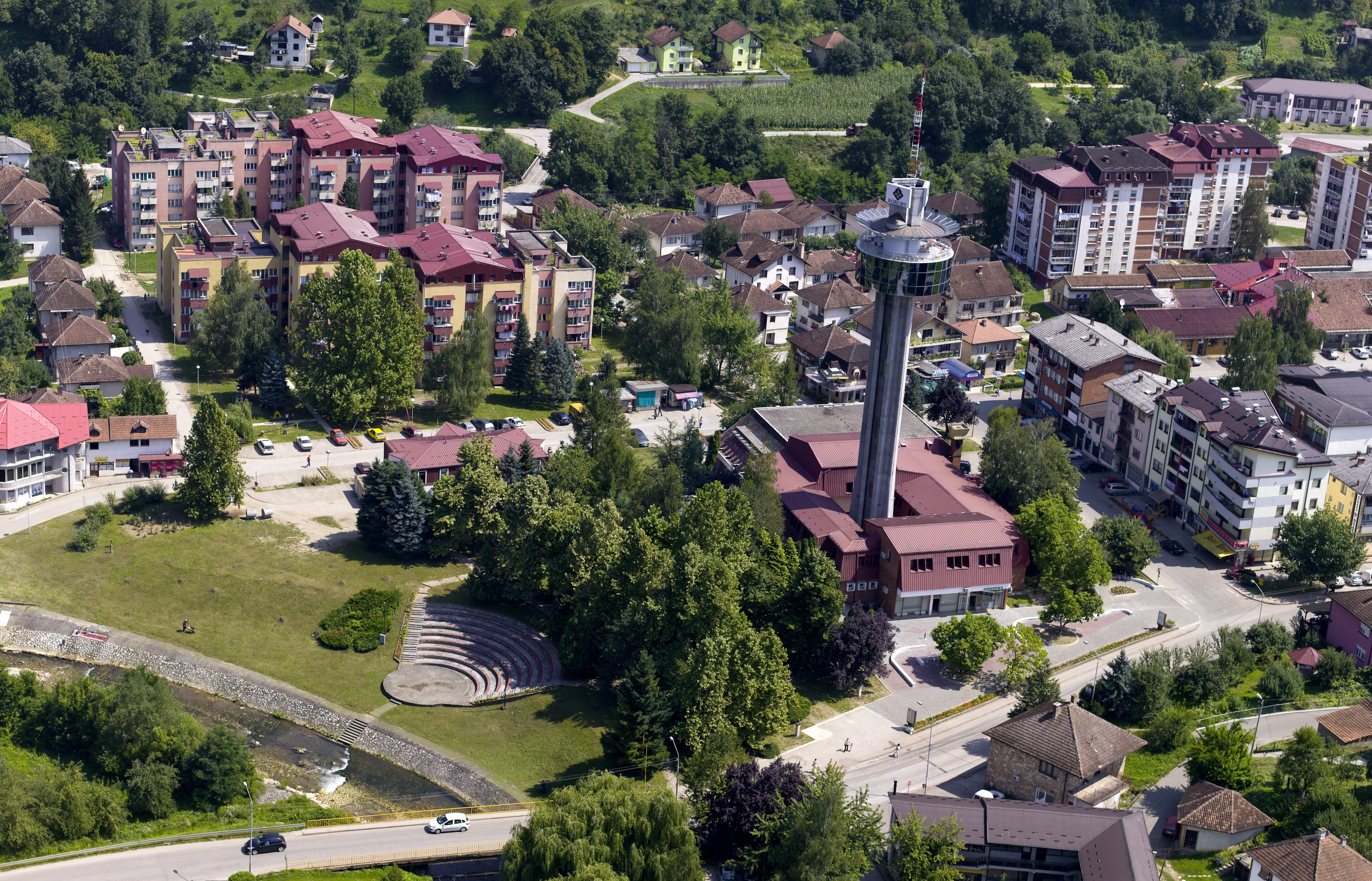
Višegrad
"Where the mountains, which form a narrow and deep canyon of the Drina River, separate into a spacious valley, stands the 500-year-old stone bridge with 11 arches of a wide span, known to everyone as "The Bridge on Drina". This
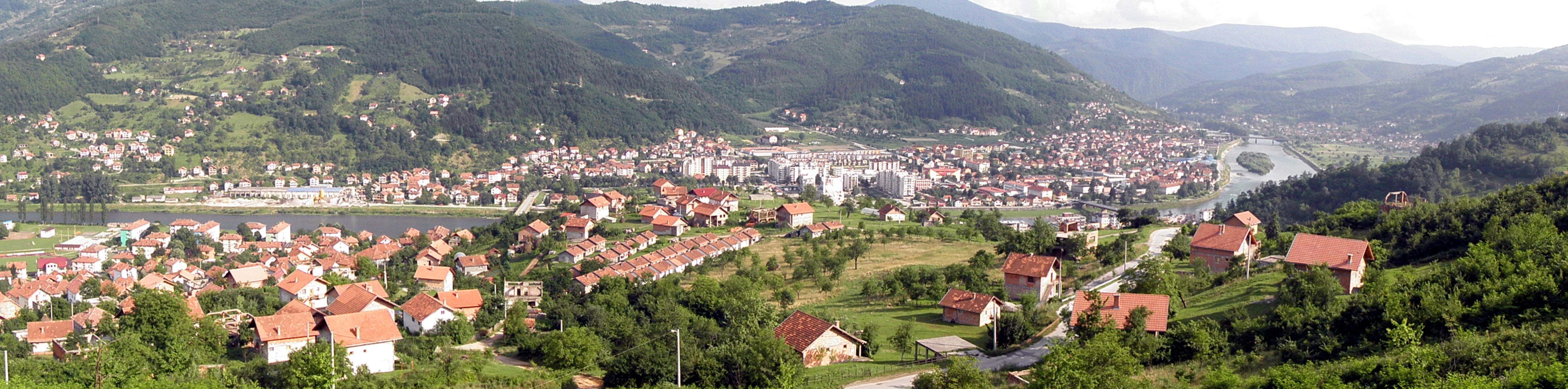
Srebrenica
Municipality of Srebrenica is located in the north-eastern part of Republic of Srpska, in the middle of a large bend of the River Drina, where natural resources and beauty constitute the largest part of Srebrenica tourist offer. According to a
Bratunac
Bratunac municipality is situated in the valley of the Drina river, in the eastern part of Republic of Srpska. During its course through Bratunac municipality, the Drina river with its tributaries represents a luxurious gift of the nature and it
Ljubinje
Ljubinje is an administrative unit with a long history. It was first mentioned in written records in 1404. Necropolis with tombstones in Ubosko - In the early Middle Ages, the territory of present-day Ljubinje municipality belonged to the early Middle Age