
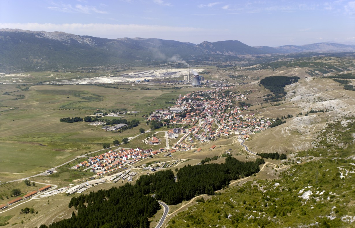
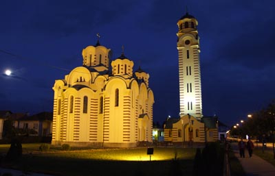
Gacko
Gacko is located in the southeast of Republic of Srpska (Bosnia-Herzegovina) and has the area of 736 km² with the population of about 12,000. Together with Trebinje, Ljubinje, Bileća, Berkovići and Nevesinje, Gacko makes the eastern area of Herzegovina, known
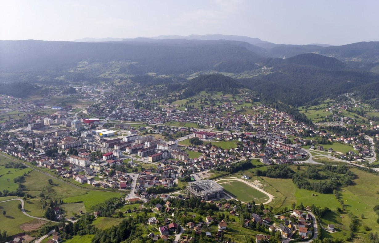
Pale
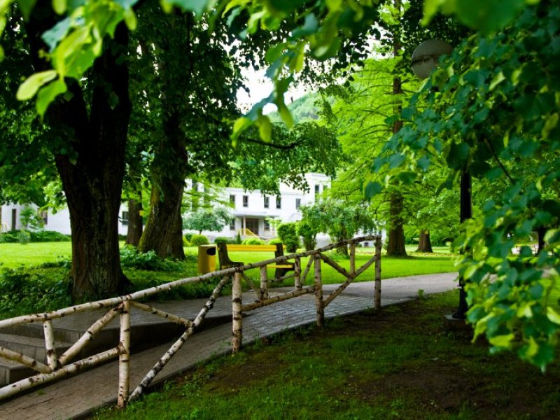
Pale municipality occupy the area of 492 sq km. The seat of the municipality is the town of Pale, located 16 km east of Sarajevo. The municipal territory is of particularly mountainous character, with altitude 500 - 2000 m. According
Drinić
Drinić, a place of renewal and new beginning is located in a picturesque plain rimmed with slopes of mountains Klekovača, Oštrelj and Srnetica, by the Sarajevo-Jajce-Bihać main road. Immediately before Bosanski Petrovac from the direction of Ključ, turn left and
Čelinac
More agreeable life conditions made Čelinac and its surroundings vibrant long ago, the fact confirmed by numerous arhaeological findings. Čelinac area has about ten Illyrian ruins, one of the most famous being on the 10th kilometre away from Banja Luka, immediately
Šamac
Municipality of Šamac is located in the northeastern part of Republic of Srpska and covers the central part of Posavina. Due to exceptionally favourable position it has, Šamac occupies an extremely important strategic and geographic position in South-East Europe. It is
Čajniče
Čajniče is a picturesque small town, town-border, town-crossroad of the roads and people's destinies. Čajniče is situated on 816 m above sea level and it has been known for many years as an air spa, in the wonderful areas rich
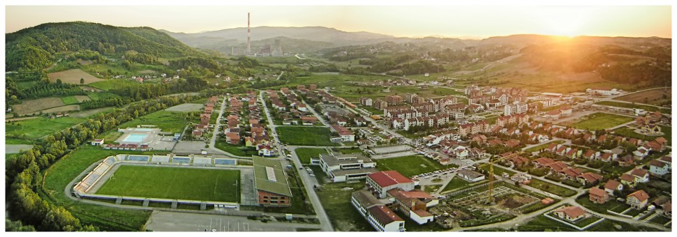
Ugljevik
Ugljevik municipality is located in the central part of Republic of Srpska, on the eastern slopes of the Mount Majevica towards Semberija. The urban part of Ugljevik, with the administrative centre, is located on the twentieth kilometre of the regional road
Petrovo
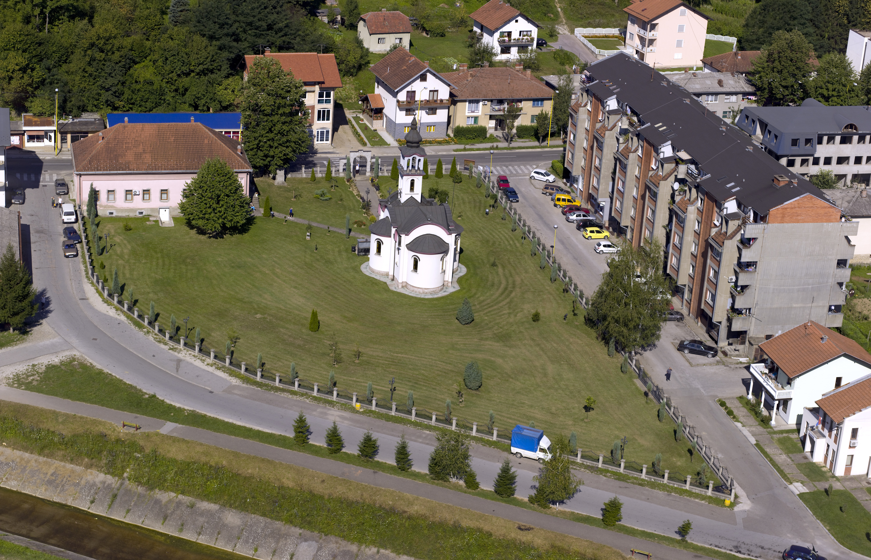
Petrovo, formerly a mining settlement and small town, but today the largest settlement in the area of Ozren. It is located in the north-eastern foot of the gentle Ozren Mountain and it extends along the left valley of the Spreca River. Its
Pelagićevo
Pelagićevo municipality is situated in the northeastern part of Republic of Srpska in flat and fertile Posavina, and was formed after the signing of the Dayton Agreement. Although small in area and relatively young, Pelagićevo has significant tourism potential, which complement

Osmaci
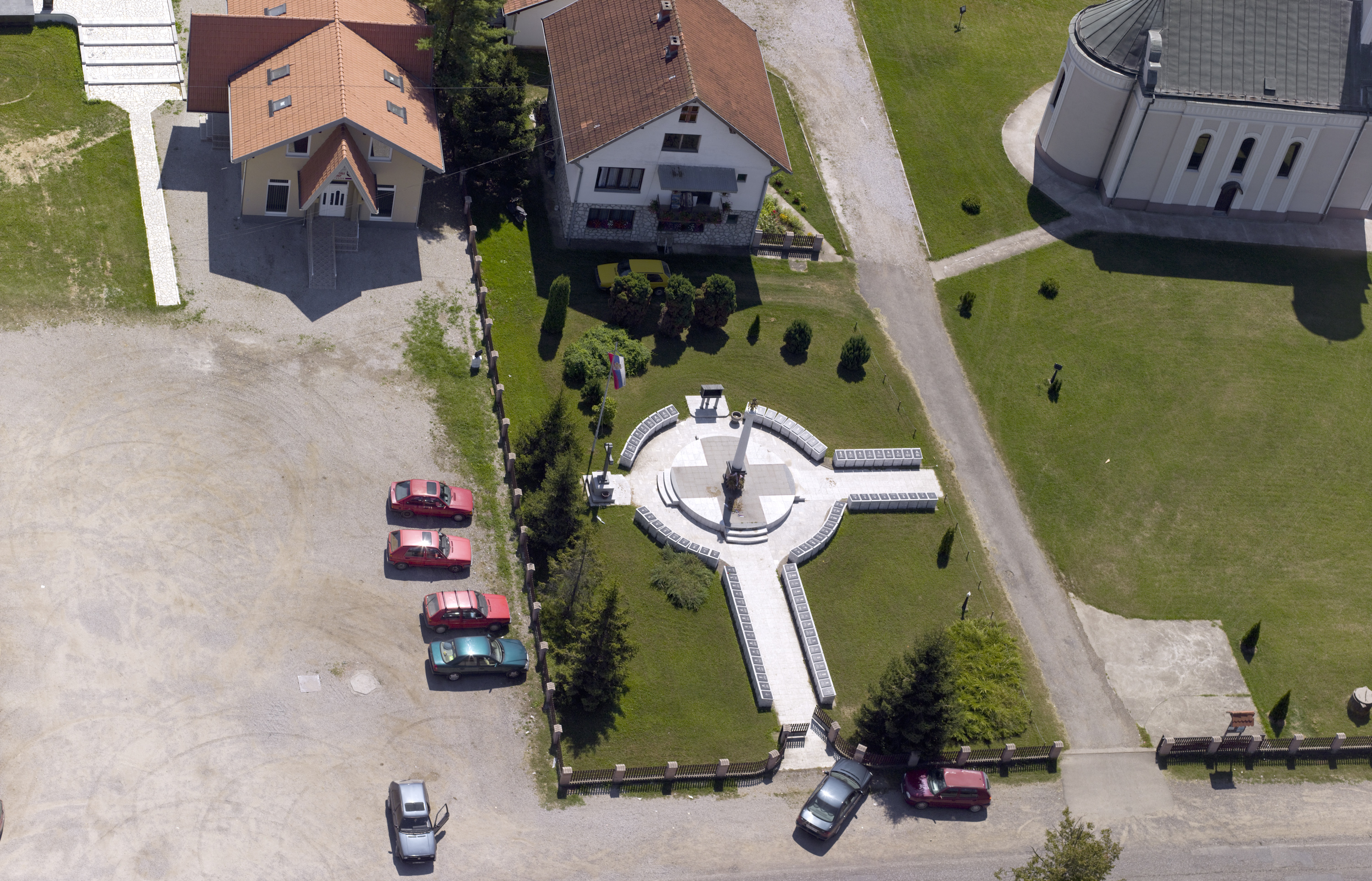
Osmaci is the municipality in the eastern part of Republic of Srpska with a considerable economic potential. A good basis for future strong development of this municipality is enabled by advantageous geographic location, the configuration of the terrain, clean air, quality
Lopare
Lopare is located in a picturesque landscape, where Mount Majevica connects with the Semberija and Posavina plain. The first historical data on Lopare are from the second half of the 18th century, where it is described as a stopover for trade
Kotor Varoš
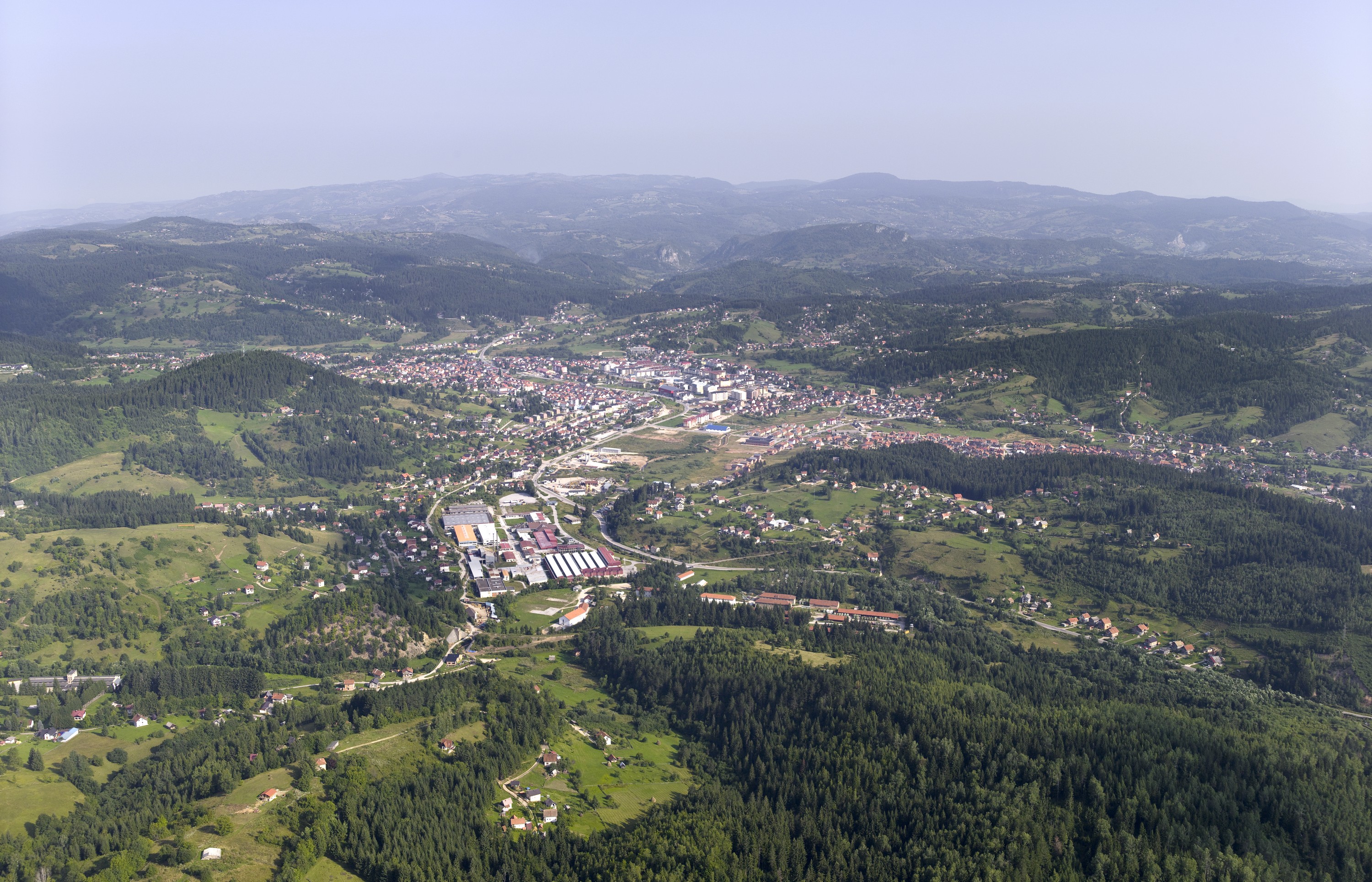
Kotor Varos municipality is located in the central part of RS, and mostly is hilly and mountainous area surrounded by mountain ranges Uzlomac, Borja Vlašić and slopes of Mt. Čemernica. The backbone of the road network in the municipality of
City of East Sarajevo
City of East Sarajevo is the administrative, economic, cultural, university, tourist and sports centre of the eastern part of the Republic of Srpska. It cinsists of the following municipalities: Pale, Sokolac, East Ilidža, East Old Town, East New Sarajevo and

Kneževo
On the timbered plateau on the north-western slopes of Vlašić mountain, there is Kneževo municipality. There are many wooden churches (the best known are St Nicola’s and St Elias’), included in the cultural heritage, that are proof of the rich history
Jezero
Jezero has a long history. It is assumed that, even during the Illyrians, there was a village in this area and, according to the tradition, a canal was dug by order of the Illyrian Queen Teuta so that the Illyrian
Doboj
With its location at the key point on the rivers of Bosna, Usora and Spreča, Doboj is the largest railway hub in the country and the seat of Željeznice Republike Srpske (RS Railways, transl. note). The first official record of
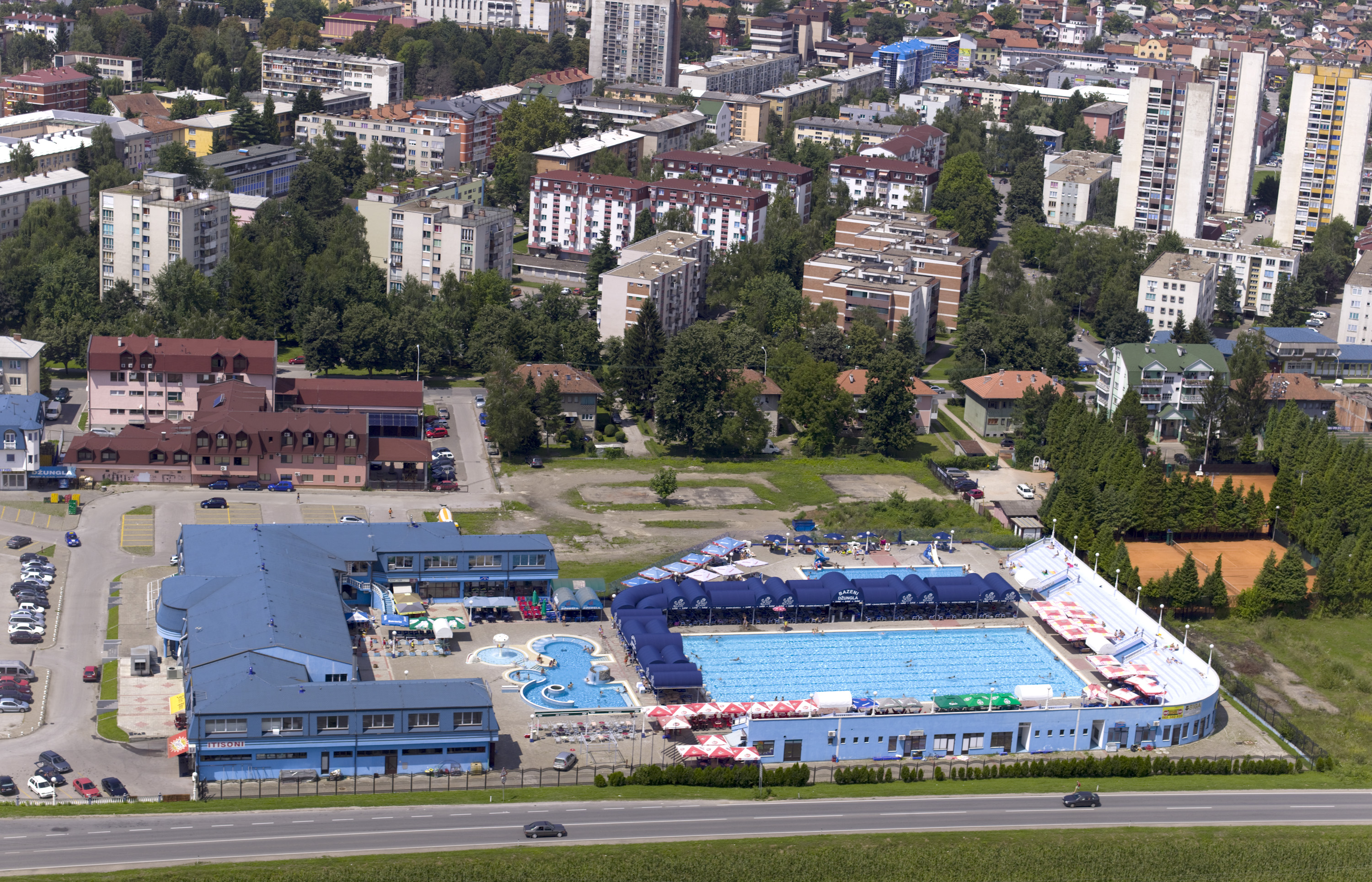
Bijeljina
Bijeljina is situated in the north-eastern part of Republic of Srpska, and it is a centre of Semberija region. The archaeological findings show that Semberija region was inhabited even in the prehistoric times. Bijeljina is easy recognisable for its vast central
Ribnik
Municipality of Ribnik is located in the northwestern part of Republic of Srpska and is one of the border municipalities in this part of Republic of Srpska. Ribnik as a settlement was founded in the left bank of River Ribnik, with

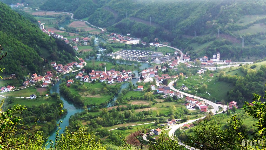
Foča
Foča municipality area boasts high mountain ranges that belong to Dinaric Alps: Maglić, Zelengora, Vučevo, Volujak, Bioč and Ljubišnja. These mountains are a real challenge for hikers, mountaineers, trekkers and all fans of nature. Sutjeska National Park is the oldest national
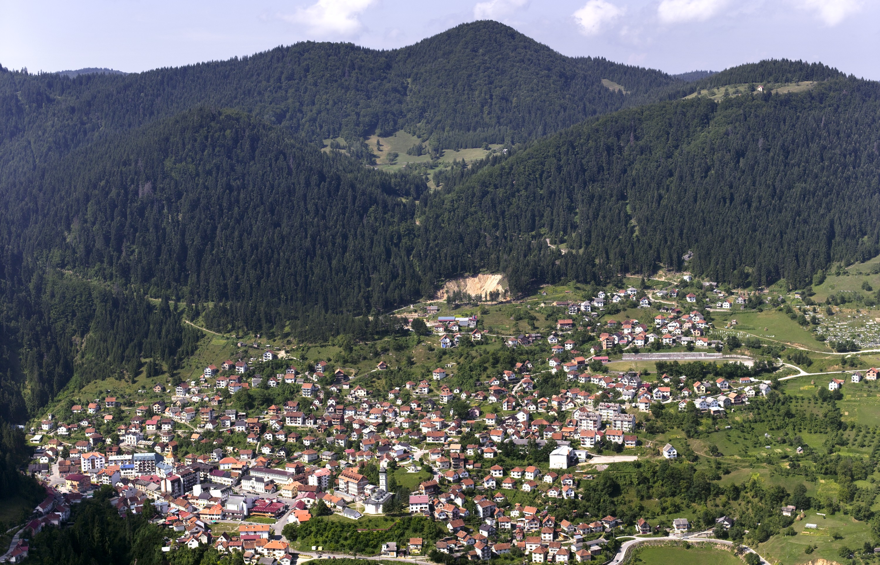
Teslić
Teslić Municipality is one of the largest municipalities in Republic of Srpska, which extends to 846 square kilometers. It is rich in natural and anthropogenic tourist resources, which are characterized by diverse topography and preserved natural wealth. Located in the northern

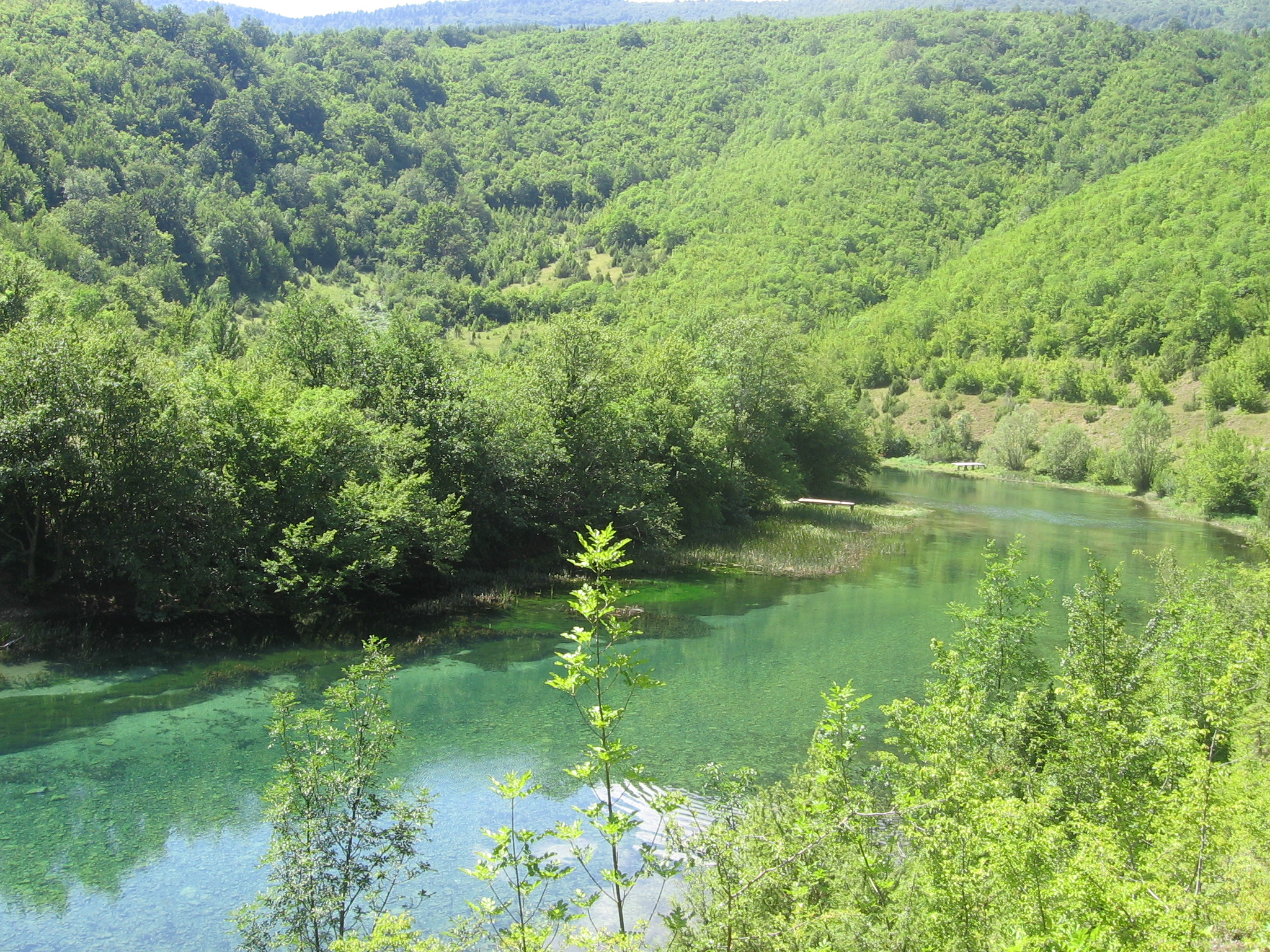
Zvornik
Because of its great strategic importance, the town that was considered the "key of Bosnia" was a frequent target of various invaders. The Drina River and Zvornik lake are rich in trout and suitable for fishing, water sports and relaxation. Banks of