

Rudo
There are numerous sites of burial grounds and stećak tombstones that have not been sufficiently explored and investigated. The whole area is related to the name and work of Mehmed Pasha Sokolović (Turkish: Sokollu Mehmed Pasha), who was born in
Han Pijesak
On the old caravan road from Sarajevo through Romanija Mountain, at every 10 kilometres, there was one han (Tur. hostelry) for rest, staying overnight and billeting of the travellers, soldiers and trade caravans. One of such hans was Han Pijesak,

Trebinje
Trebinje, the city of sun, wine and plane trees, is located in the far south of Herzegovina, on the banks of the River Trebišnjica below Mount Leotar. It is located in the triangle of World Heritage sites - Dubrovnik (28
Rogatica
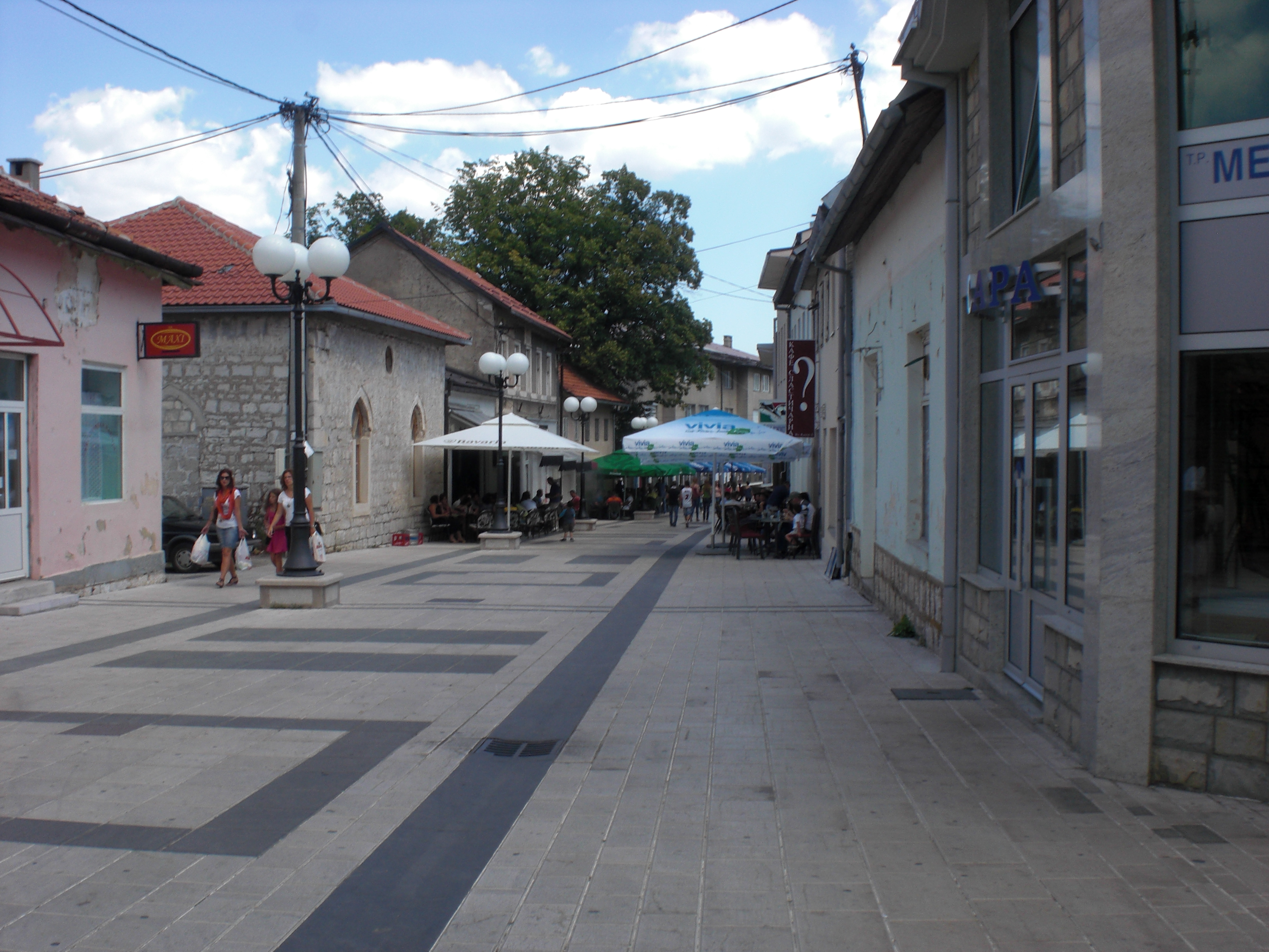
Rogatica municipality stretches over the middle-eastern part of Republic of Srpska and is an area of exceptional beauty, hilly and mountainous terrain intersected with evergreen and deciduous forest and clear mountain rivers abundant in fish. Together with a rich cultural
Novo Gorazde
The municipality of Novo Gorazde was established by a division of the pre-war Gorazde in 1994, and verified after the Dayton Peace Agreement in 1995. This extremely hilly and mountainous area is located under the eastern slopes of Mount Jahorina,
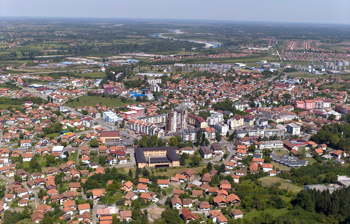
Modriča
Modriča municipality is located in the north of the Republic of Srpska and Bosnia and Herzegovina, with the area of 297 km2. It is located about 30 km away from the Belgrade - Zagreb highway and has a good road
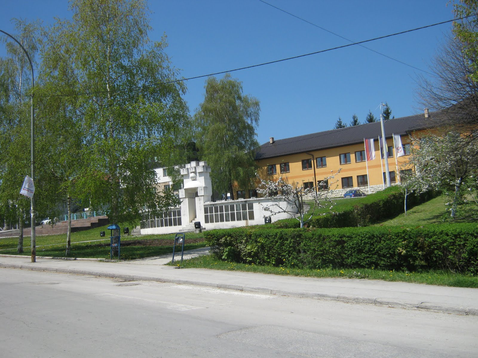
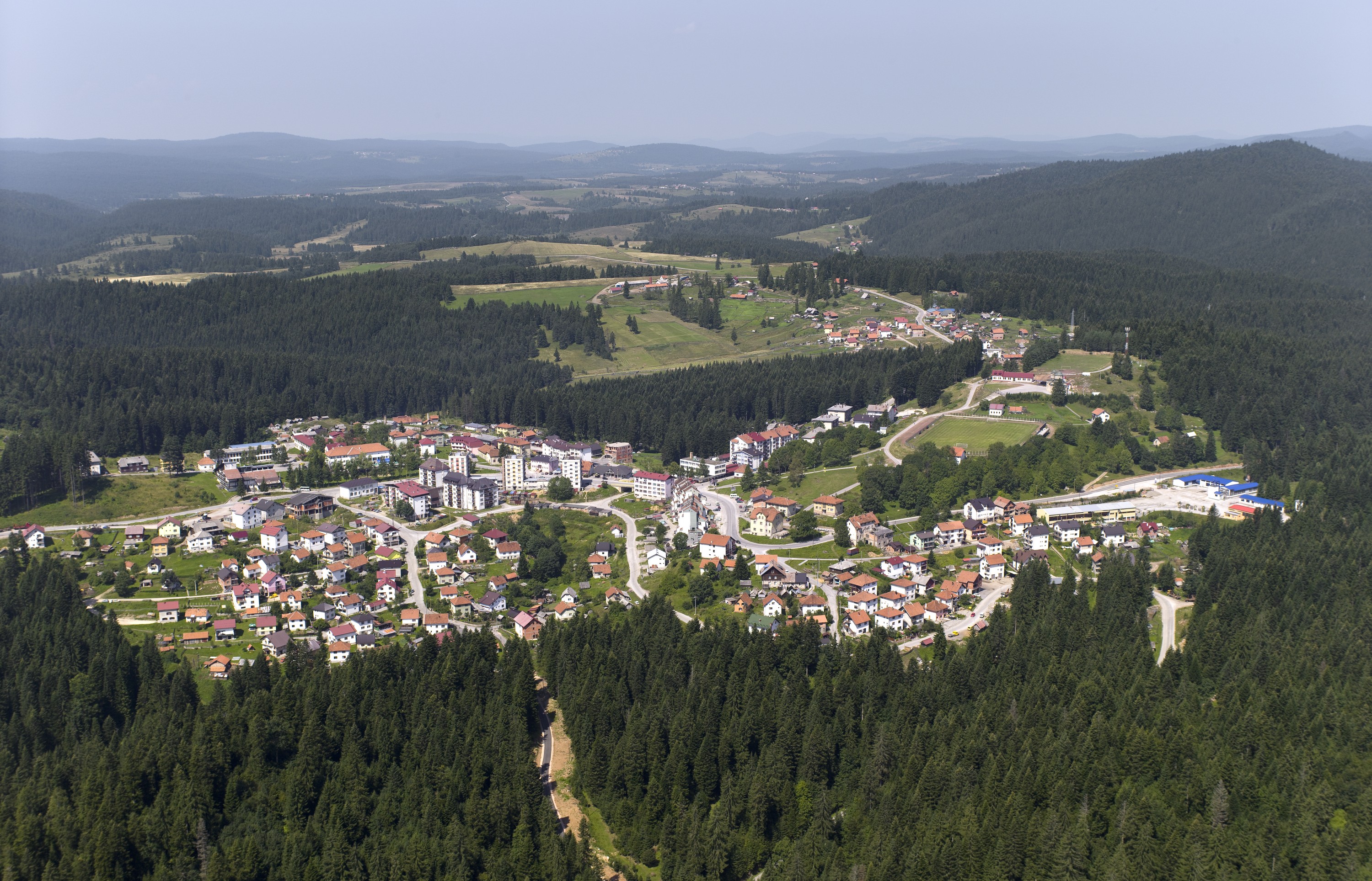
Sokolac
The municipality of Sokolac is located in the eastern part of Republic of Srpska, on the wide plateau of Glasinac at the foot of Mount Romanija, an area of beautiful and smooth hills and mountains, high plains, clear mountain rivers
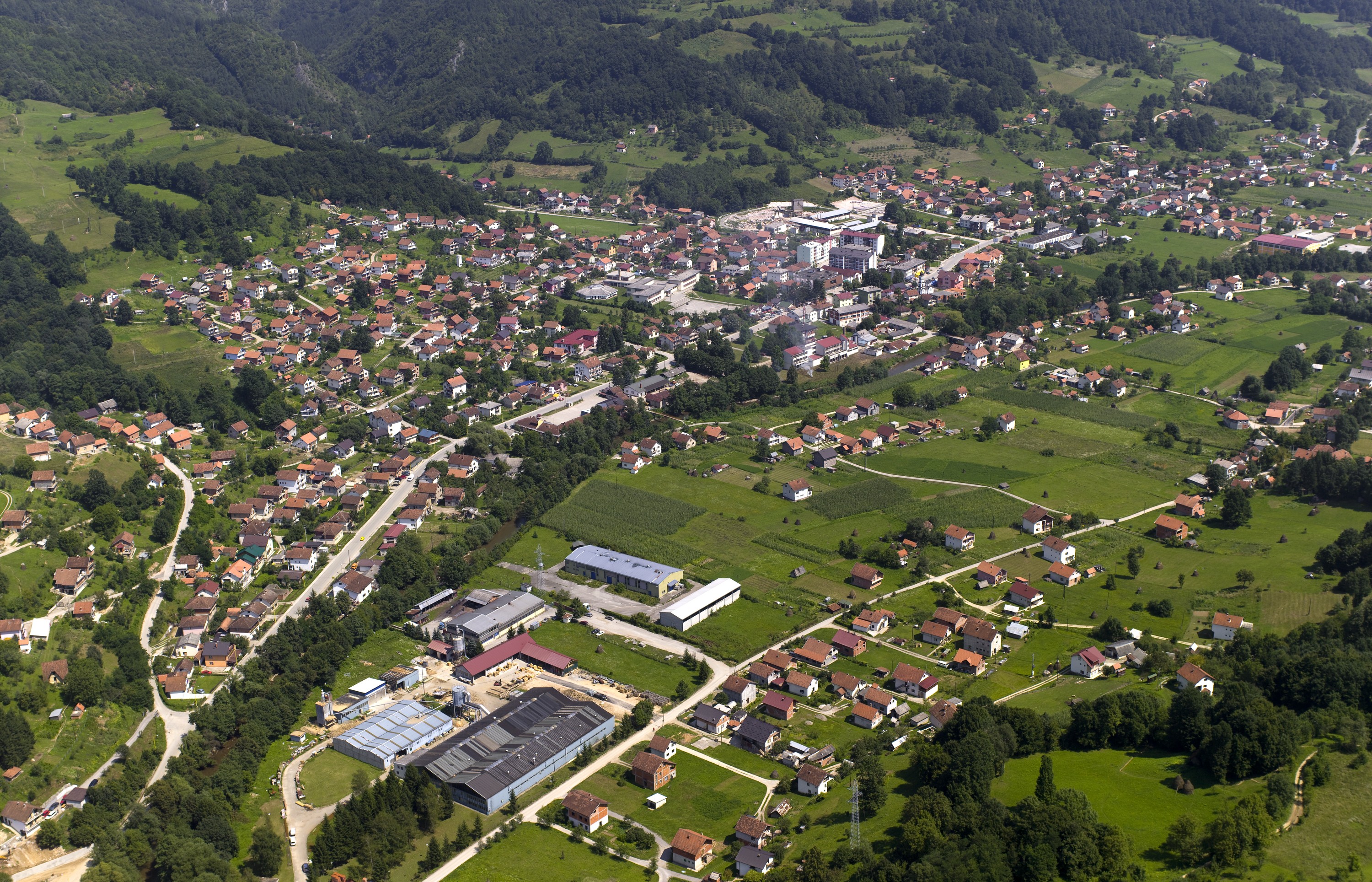
Šekovići
Šekovići municipality is located in the area of the River Drinjača, a clear mountain river that provides ideal conditions for fishing. It flows through the municipality in the length of 23 km, and the following hills are scattered on the
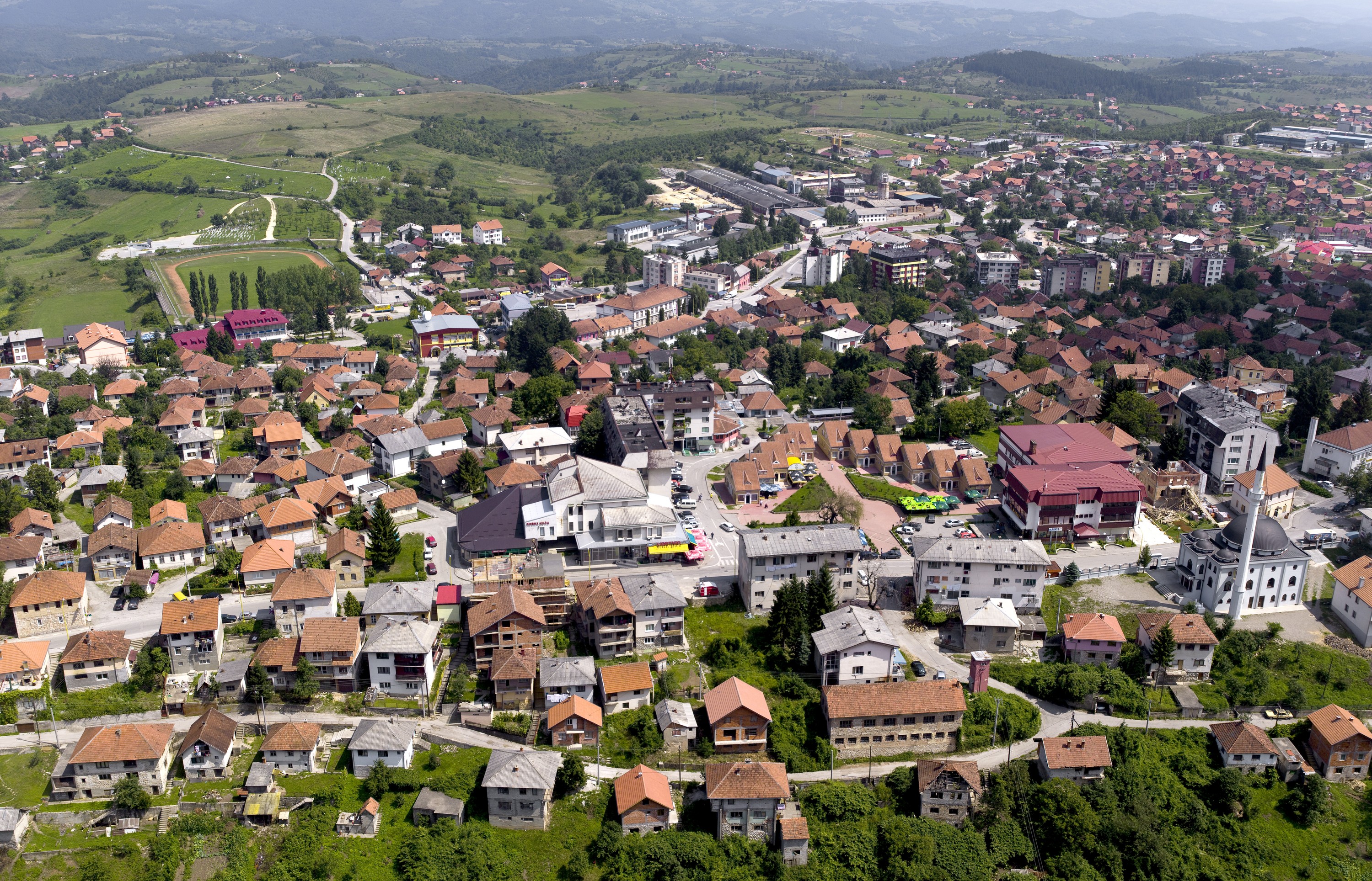
Vlasenica
Its geographical position and altitude of 688 meters classify Vlasenica as a mountainous town. Vlasenica is one of the oldest settlements in the Republic of Srpska, Bosnia and Herzegovina because its name, Birac, is mentioned as early as the thirteenth century.
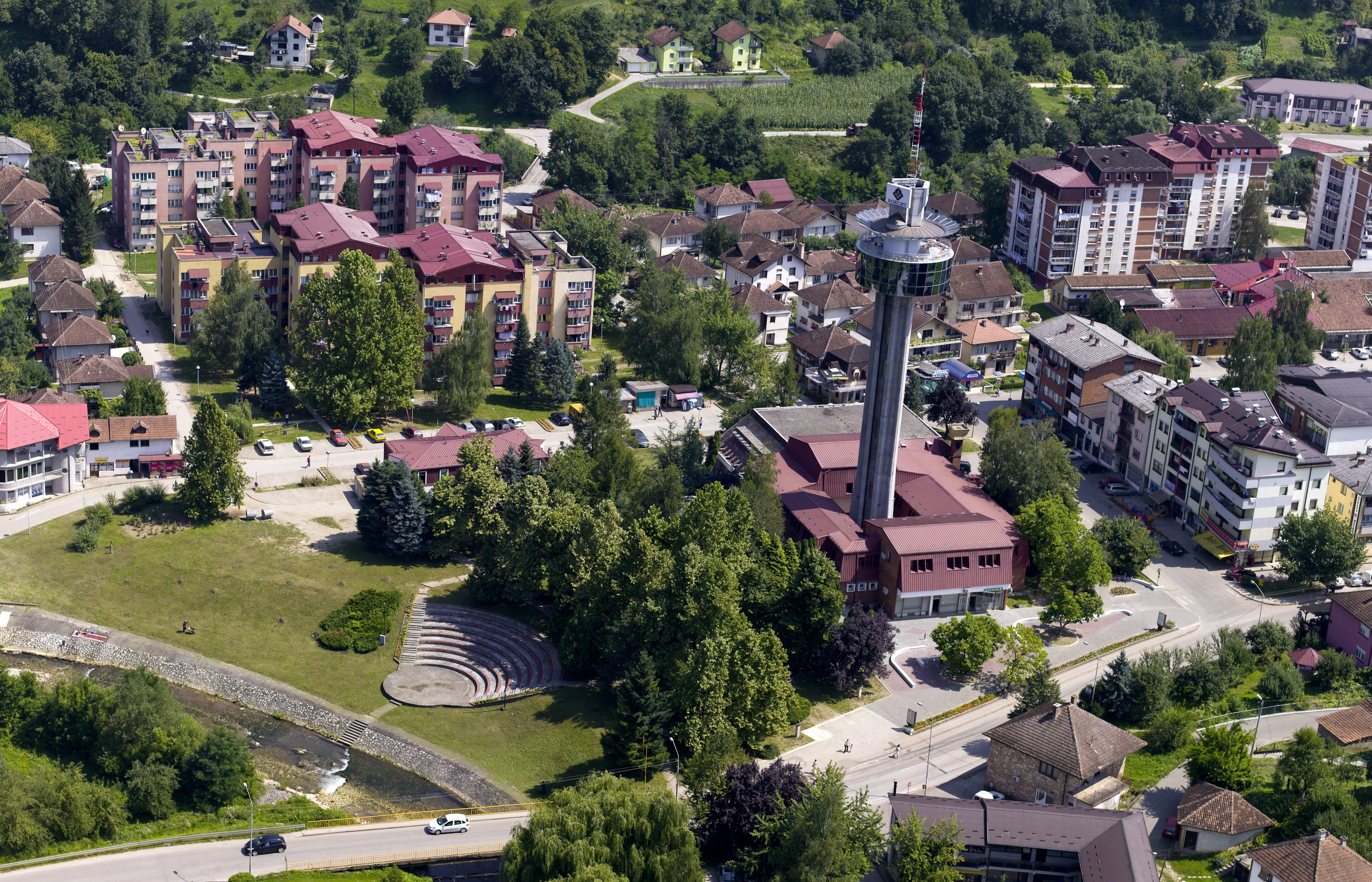
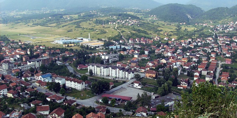
Milići
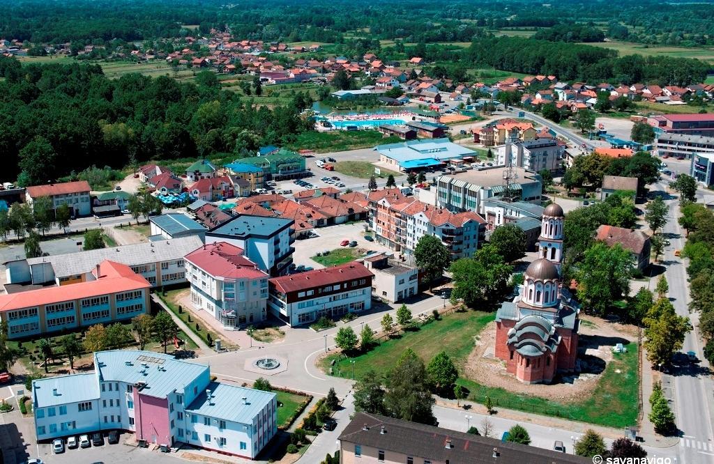
Milići municipality is located in the eastern part of the Republic of Srpska and stretches over 285 sq km of hilly terrain, at the altitude of 250 to 1500 m. It is characterized by a moderate climate, abundance of greenery
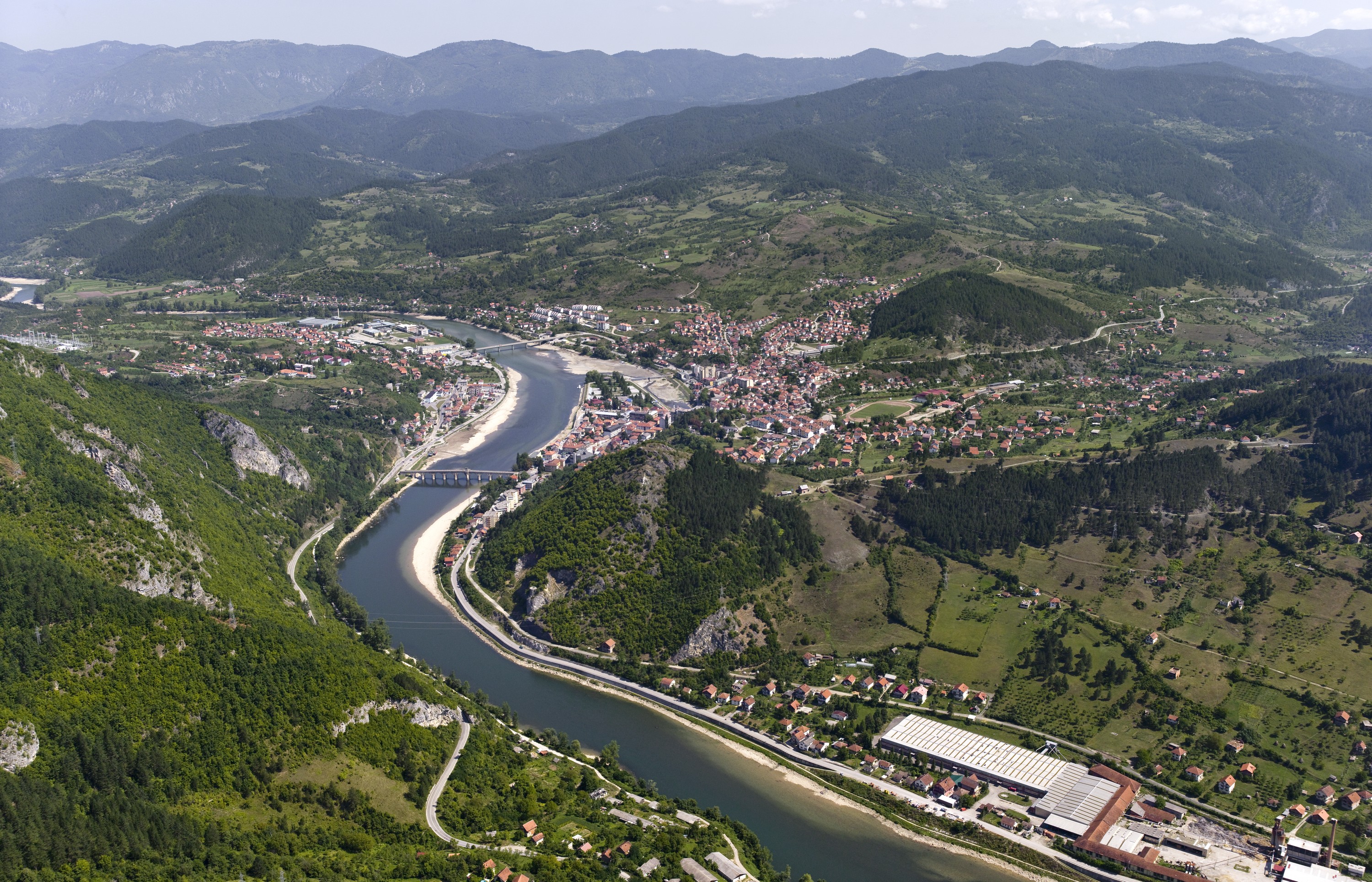
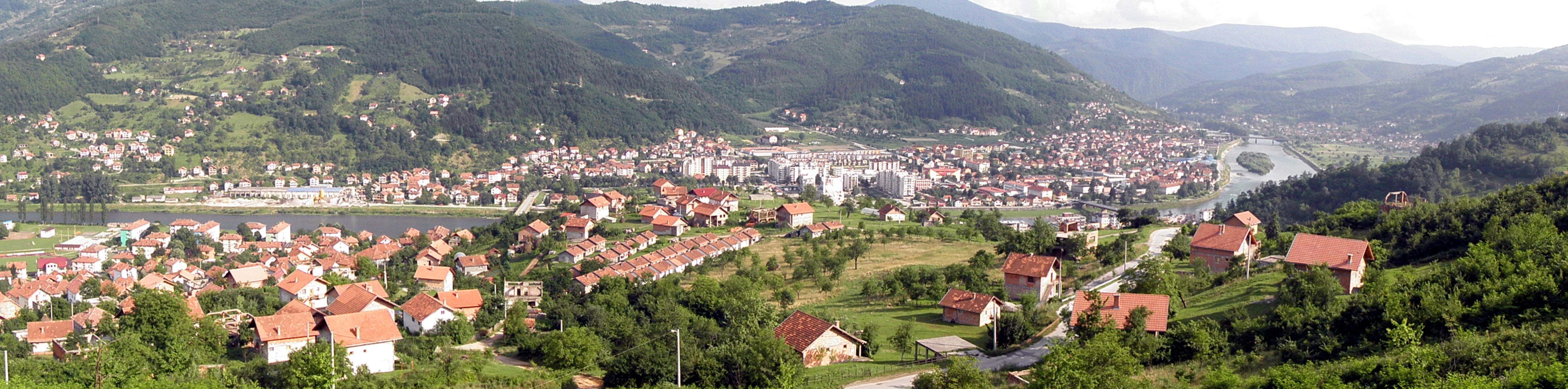
Višegrad
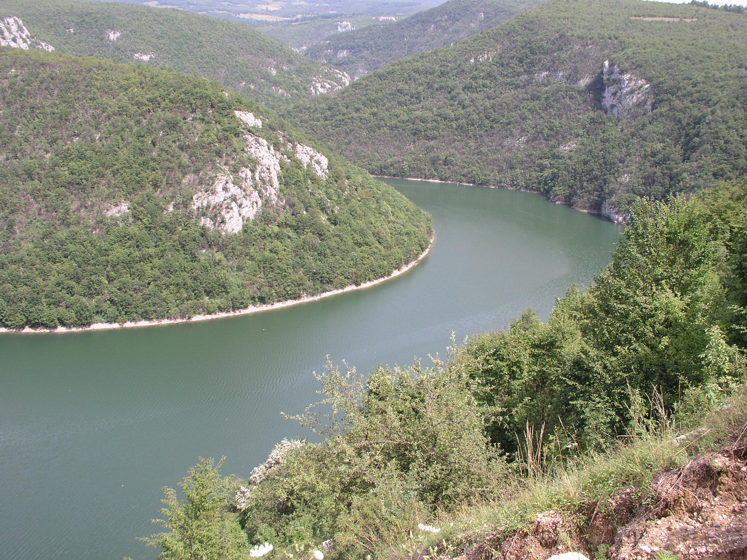
"Where the mountains, which form a narrow and deep canyon of the Drina River, separate into a spacious valley, stands the 500-year-old stone bridge with 11 arches of a wide span, known to everyone as "The Bridge on Drina". This
Srebrenica
Municipality of Srebrenica is located in the north-eastern part of Republic of Srpska, in the middle of a large bend of the River Drina, where natural resources and beauty constitute the largest part of Srebrenica tourist offer. According to a
Bratunac
Bratunac municipality is situated in the valley of the Drina river, in the eastern part of Republic of Srpska. During its course through Bratunac municipality, the Drina river with its tributaries represents a luxurious gift of the nature and it
Ljubinje
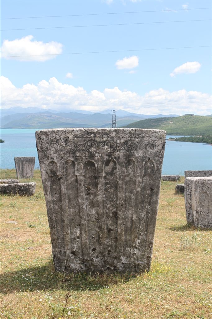
Ljubinje is an administrative unit with a long history. It was first mentioned in written records in 1404. Necropolis with tombstones in Ubosko - In the early Middle Ages, the territory of present-day Ljubinje municipality belonged to the early Middle Age
Nevesinje
Nevesinje municipality is located in the south-east of Republic of Srpska, in east Herzegovina, 35 km from Mostar and 110 km from Sarajevo. Its distance from the Adriatic Sea and Ploče harbour is 110 km. The municipality makes a part of
Bileća
Bileća is situated in the East Herzegovina at the crossing of the roads that lead from the south, Adriatic coast and Dubrovnik (60 km), Trebinje (30 km) to the north (Gacko), east (Nikšić) and west (Mostar). It is mainly hilly,
Kostajnica
Municipality of Kostajnica is located in the northwest part of Republic of Srpska. It is situated between Novi Grad and Kozarska Dubica. Its area is about 130 km2 and has populationof about 6000. Una River flows through Kostajnica, as one
Šipovo
Šipovo is a beautiful Krajina town located in the extreme south-west of the Republic of Srpska and in the western part of Bosnia and Herzegovina. It lies on the clear, beautiful mountains rivers Pliva and Janja, but also small rivers Sokocnica,
Srbac
In the territory of Srbac municipality, which is very rich in remarkable natural resources and beauties, the tourism development is mainly based on the natural motives. It is obvious, if you bear in mind, that the nature has been extremely
Brod
Brod municipality is situated in the northest part of Republic of Srpska, it confines with the Sava river and the slopes of Vučijak and Motajica mountains. The broad valley between them is made by the Ukrina river and the area